cwh00161 – Vintage Print

(Each image is professionally and digitally cleaned of artifacts such as color bars and extra borders prior to printing.)
Description
A window into the past: cwh00161, preserved in this historic image. It is part of the Snapshots of the Past archive, gathered over 25 years of research.
The framed print arrives ready to hang; the unframed option suits custom framing. A conversation-starting piece for home, office, or as a meaningful gift. Free shipping in the lower 48 states. Since 2001, Snapshots of the Past has shipped historic prints to tens of thousands of customers around the world.
cwh00161
Order a print
Thank you. Your order went through, and a receipt is on its way by email.
Secure checkout · SSL encryptedPowered by Stripe and PayPal
Free shipping in the lower 48 states. The checkout page shows the picture, size and price before you pay.
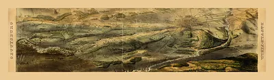
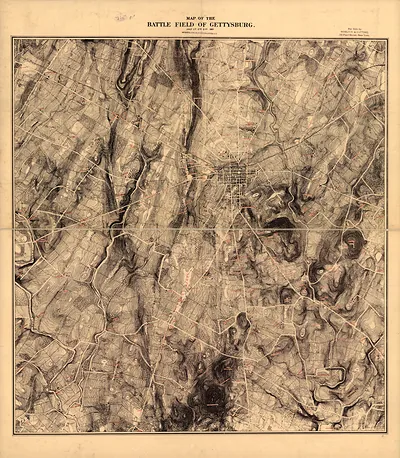
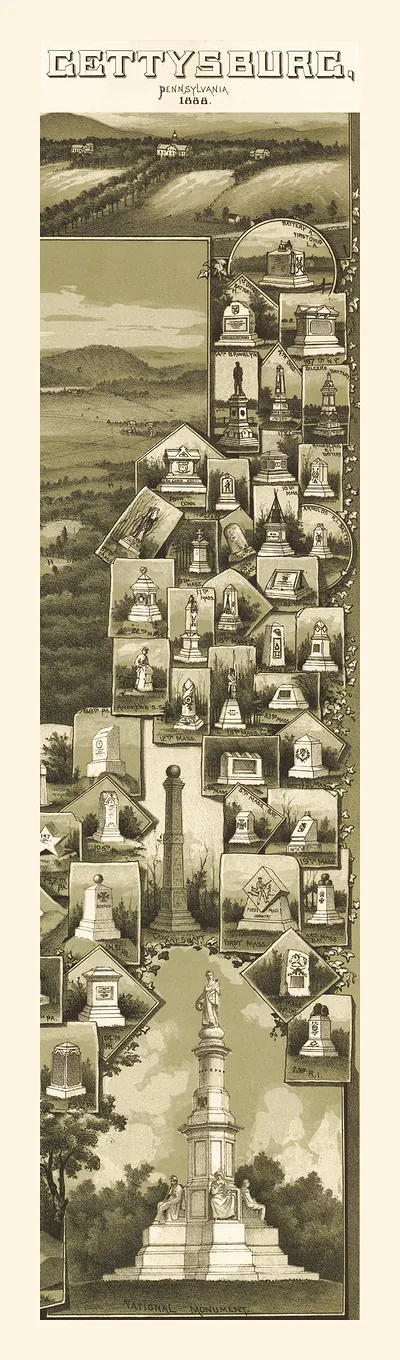
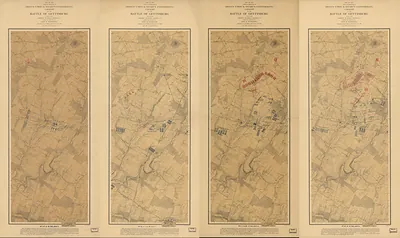
Its catalog record places it among the broad maps of Gettysburg, the Pennsylvania borough where Union and Confederate armies fought from July 1 to 3, 1863. Maps like this one served different purposes over the years, from guiding officers and reporters during and after the battle to helping veterans and tourists trace where regiments had stood on ridges, orchards and open fields. The record does not name a mapmaker or a date, so its exact origin is unclear. Its wide scope, however, reflects how the surrounding countryside, with its roads, town and rising ground, shaped the fighting and how it was remembered.
| Original scan | 4,523 × 5,398 px · prints to 15 × 18 in at 300 dpi |
|---|---|
| Reference | cwh00161 |
More from the Gettysburg collection
Snapshots of the Past helps heritage brands, museums, historians and storytellers tell stories with history: historic prints, image licensing and historical storytelling drawn from more than 25 years of research and curation.