cwh00220Geological map of the Potomac basin west of Blue Ridge, – Vintage Map Wall Art

(Each image is professionally and digitally cleaned of artifacts such as color bars and extra borders prior to printing.)
Description
Step back in time with cwh00220Geological map of the Potomac basin west of Blue Ridge,, an antique map rich in period detail. It comes from the Snapshots of the Past collection, curated over 25 years for its historical value.
Framed, it is ready for the wall; unframed, it is ready for the frame you choose. A fine choice for anyone who loves history, and a gift that gets noticed. Free shipping in the lower 48 states. Snapshots of the Past, founded in 2001, has served tens of thousands of customers worldwide.
cwh00220Geological map of the Potomac basin west of Blue Ridge,
Order a print
Thank you. Your order went through, and a receipt is on its way by email.
Secure checkout · SSL encryptedPowered by Stripe and PayPal
Free shipping in the lower 48 states. The checkout page shows the picture, size and price before you pay.
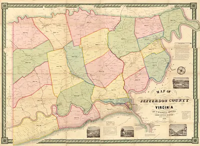
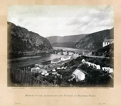
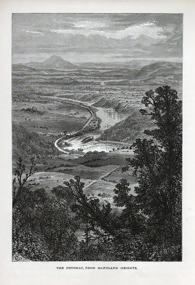
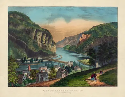
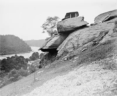
This map covers the Potomac River basin west of the Blue Ridge, the country around Harpers Ferry, where the river breaks through the mountains at the gap where the Shenandoah joins it. Maps like this one were a core tool of the 19th-century geological surveys, which recorded the bedrock, valleys, and ridges of the Appalachians as the country was opened to roads, rail, and mining. The region's folded sandstones, limestones, and shales, laid down over vast spans of time and then tilted and eroded, explain why the river runs where it does. Harpers Ferry was also the site of John Brown's 1859 raid on the federal armory, so the landscape shown here is one that later mattered to the nation's history as well.
| Original scan | 4,320 × 2,754 px · prints to 14 × 9 in at 300 dpi |
|---|---|
| Reference | cwh00220Geological map of the Potomac basin west of Blue Ridge, |
More from the West Virginia collection
Snapshots of the Past helps heritage brands, museums, historians and storytellers tell stories with history: historic prints, image licensing and historical storytelling drawn from more than 25 years of research and curation.