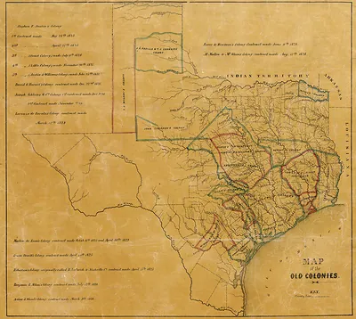
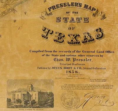
Natural provinces Texas 1899, Texas – Historic Map Reproduction

(Each image is professionally and digitally cleaned of artifacts such as color bars and extra borders prior to printing.)
Description
Few images capture their era like this antique map of Natural provinces Texas 1899, Texas. It comes from the Snapshots of the Past collection, curated over 25 years for its historical value.
The framed print arrives ready to hang; the unframed option suits custom framing. It brings character to any room and makes a memorable gift. Free shipping in the lower 48 states. Snapshots of the Past has been bringing history to the wall since 2001, for tens of thousands of customers worldwide.
Natural provinces Texas 1899, Texas
Order a print
Thank you. Your order went through, and a receipt is on its way by email.
Secure checkout · SSL encryptedPowered by Stripe and PayPal
Free shipping in the lower 48 states. The checkout page shows the picture, size and price before you pay.
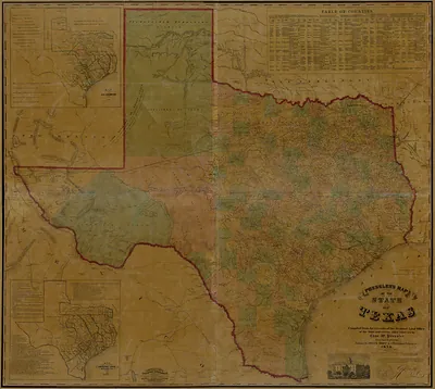
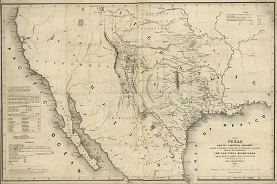
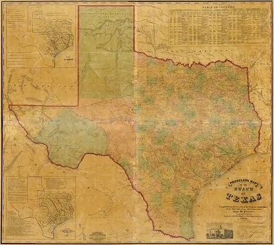
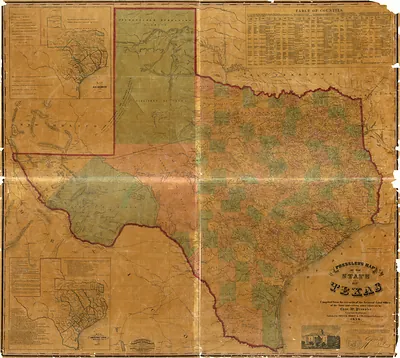
Texas in 1899 was a state of wide open land and a fast-growing economy, and this map sorts it into natural provinces, the broad regions defined by their soils, rivers, and vegetation. Cotton dominated the blackland prairies and the river bottoms of the east and center, while cattle ranching held sway over the grasslands of the Llano Estacado and the western plains. Railroad lines had multiplied across the state over the previous two decades, carrying cotton and cattle to market and drawing settlers into regions that had recently been thinly populated. Galveston, on the Gulf coast, was the state's leading seaport, and most Texans would have measured their region's prospects by its distance from a rail line or a river landing. A year later, the 1900 hurricane would devastate Galveston, a reminder of how exposed the coastal plain remained.
| Notes | Bird's-eye view map. |
|---|---|
| Subjects | Panoramic maps--Texas |
| Original scan | 4,755 × 4,452 px · prints to 16 × 15 in at 300 dpi |
| Reference | Natural provinces Texas 1899 |
More from the Panoramic Maps collection
Snapshots of the Past helps heritage brands, museums, historians and storytellers tell stories with history: historic prints, image licensing and historical storytelling drawn from more than 25 years of research and curation.