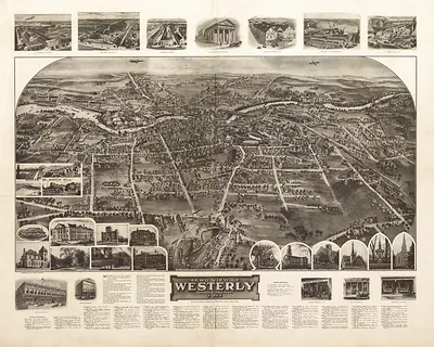
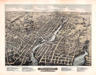
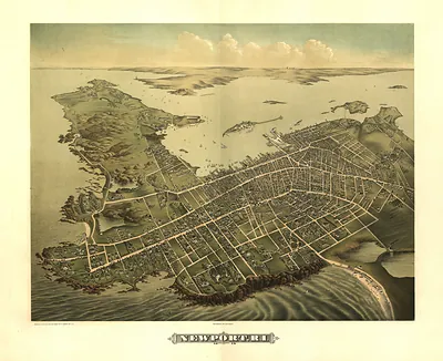
Westerly, Rhode Island, 1877 – Antique Wall Map

(Originally scanned by the Library of Congress. Each image is professionally and digitally cleaned of artifacts such as color bars and extra borders prior to printing.)
Description
This antique map of Westerly, Rhode Island, 1877 brings a moment of history to your wall. The original is held by the Library of Congress, so what you hang is a true record of its time.
Library of Congress record: View of Westerly, R.I. 1877
The framed print arrives ready to hang; the unframed option suits custom framing. A conversation-starting piece for home, office, or as a meaningful gift. Free shipping in the lower 48 states. Since 2001, Snapshots of the Past has shipped historic prints to tens of thousands of customers around the world.
Westerly, Rhode Island, 1877
Order a print
Thank you. Your order went through, and a receipt is on its way by email.
Secure checkout · SSL encryptedPowered by Stripe and PayPal
Free shipping in the lower 48 states. The checkout page shows the picture, size and price before you pay.
Westerly, Rhode Island, in 1877 was a small mill and quarry town at the southwestern corner of the state, where the Pawcatuck River forms the border with Connecticut. Its economy rested on granite quarrying, which drew stonecutters and laborers to the nearby ledges, along with textile and other mills that ran on river power. The railroad line along the shore tied the town to Providence, New London, and New York, carrying stone and goods out and bringing in workers and visitors. The town was still recovering from the financial Panic of 1873, which had slowed building and wages across New England, and residents would have known Westerly as a working community where the quarries, mills, and riverfront shaped daily life.
| Created / published | 1877 |
|---|---|
| Creator | bailey, o. h. (oakley hoopes), hazen, j. c. |
| Notes | Bird's-eye view map. |
| Subjects | Panoramic maps--Rhode Island |
| Source | Library of Congress, Panoramic Maps |
| Original scan | 2,064 × 1,616 px · prints to 7 × 5 in at 300 dpi |
| Library of Congress title | View of Westerly, R.I. 1877 |
| Reference | RI-Westerly-1877 |
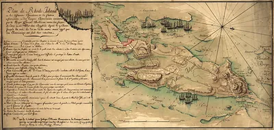
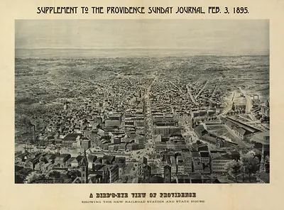
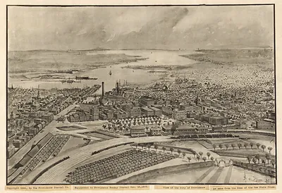
More from the Panoramic Maps collection
Snapshots of the Past helps heritage brands, museums, historians and storytellers tell stories with history: historic prints, image licensing and historical storytelling drawn from more than 25 years of research and curation.