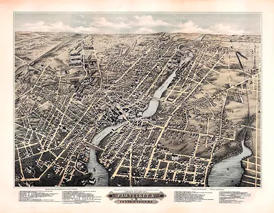
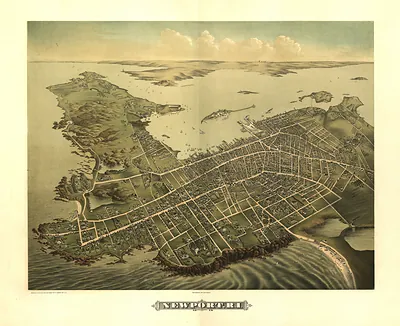
Rhode Island, Rhode Island, 1778 – Antique Map Print

(Each image is professionally and digitally cleaned of artifacts such as color bars and extra borders prior to printing.)
Description
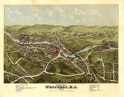
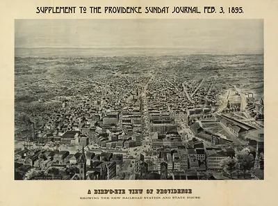
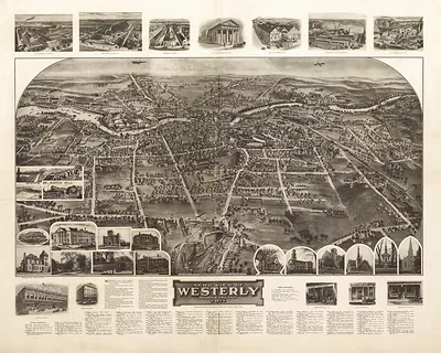
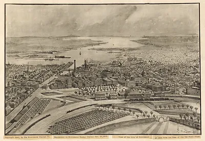
Few images capture their era like this antique map of Rhode Island, Rhode Island, 1778. It comes from the Snapshots of the Past collection, curated over 25 years for its historical value.
The framed print arrives ready to hang; the unframed option suits custom framing. It brings character to any room and makes a memorable gift. Free shipping in the lower 48 states. Since 2001, Snapshots of the Past has shipped historic prints to tens of thousands of customers around the world.
Rhode Island, Rhode Island, 1778
Order a print
Thank you. Your order went through, and a receipt is on its way by email.
Secure checkout · SSL encryptedPowered by Stripe and PayPal
Free shipping in the lower 48 states. The checkout page shows the picture, size and price before you pay.
In 1778 Rhode Island was in the middle of the Revolutionary War, and its chief town, Newport, had been badly damaged by it. British troops had occupied the town since December 1776, and its once busy trade in rum, molasses, and enslaved Africans had shrunk as merchant ships were cut off from the sea. Many residents had fled inland, leaving houses and wharves empty along the waterfront. That August, American forces under John Sullivan tried to drive the British from the island, but a planned joint attack with a French fleet under the Comte d'Estaing fell apart after a storm scattered the ships. For those who remained, the harbor that had once made Newport prosperous now stood as a reminder of occupation and lost trade.
| Created / published | 1778 |
|---|---|
| Notes | Bird's-eye view map. |
| Subjects | Panoramic maps--Rhode Island |
| Original scan | 2,249 × 1,071 px · prints to 7 × 4 in at 300 dpi |
| Reference | RI-Rhode Island 1778 |
More from the Panoramic Maps collection
Snapshots of the Past helps heritage brands, museums, historians and storytellers tell stories with history: historic prints, image licensing and historical storytelling drawn from more than 25 years of research and curation.