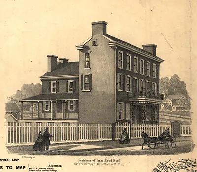
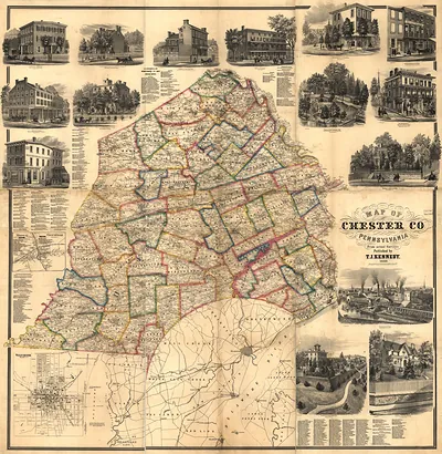
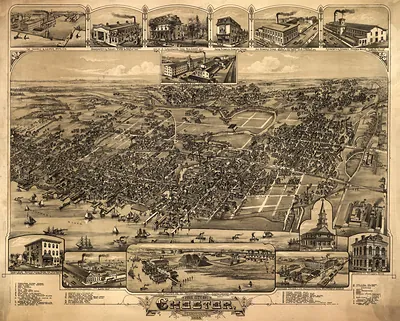
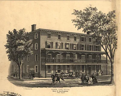
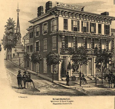
Map of Westchester (Chester Co.), Pennsylvania – Historic Map Reproduction

(Each image is professionally and digitally cleaned of artifacts such as color bars and extra borders prior to printing.)
Description
Step back in time with Map of Westchester (Chester Co.), Pennsylvania, an antique map rich in period detail. It comes from the Snapshots of the Past collection, curated over 25 years for its historical value.
Framed, it is ready for the wall; unframed, it is ready for the frame you choose. It brings character to any room and makes a memorable gift. Free shipping in the lower 48 states. Snapshots of the Past, founded in 2001, has served tens of thousands of customers worldwide.
Map of Westchester (Chester Co.), Pennsylvania
Order a print
Thank you. Your order went through, and a receipt is on its way by email.
Secure checkout · SSL encryptedPowered by Stripe and PayPal
Free shipping in the lower 48 states. The checkout page shows the picture, size and price before you pay.
West Chester, the seat of Chester County in southeastern Pennsylvania, drew much of its livelihood in the later nineteenth century from county government, farm trade, and the markets serving the surrounding countryside. The West Chester and Philadelphia Railroad reached the borough in 1832, linking its farmers and merchants to Philadelphia and making the town a shipping point for grain, dairy, and produce. The State Normal School, opened in 1871, brought teachers-in-training and a campus life that set the borough apart from the villages around it. Residents knew West Chester as the county's political center and a town where Quaker-descended families, German farmers, and Irish and other immigrant workers shared its streets and churches.
| Original scan | 2,918 × 2,820 px · prints to 10 × 9 in at 300 dpi |
|---|---|
| Reference | PA West Chester |
More from the Panoramic Maps collection
Snapshots of the Past helps heritage brands, museums, historians and storytellers tell stories with history: historic prints, image licensing and historical storytelling drawn from more than 25 years of research and curation.