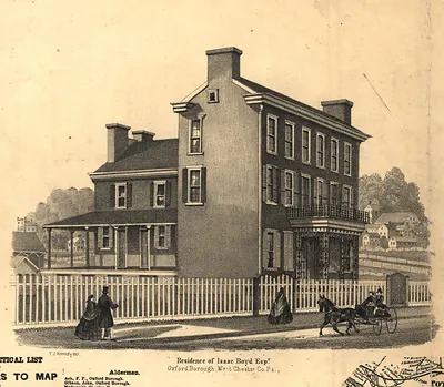
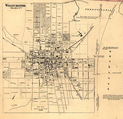
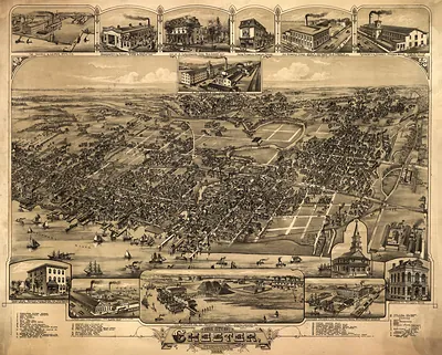
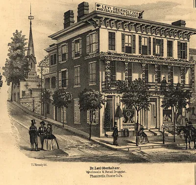
Chester County, Pennsylvania, 1860 – Antique Map Print

(Each image is professionally and digitally cleaned of artifacts such as color bars and extra borders prior to printing.)
Description
A window into the past: Chester County, Pennsylvania, 1860, preserved in this antique map. Drawn from the Snapshots of the Past archive, it is an authentic piece of documented history.
Order it framed and ready to hang, or unframed to match a frame you already love. It brings character to any room and makes a memorable gift. Free shipping in the lower 48 states. Snapshots of the Past, founded in 2001, has served tens of thousands of customers worldwide.
Chester County, Pennsylvania, 1860
Order a print
Thank you. Your order went through, and a receipt is on its way by email.
Secure checkout · SSL encryptedPowered by Stripe and PayPal
Free shipping in the lower 48 states. The checkout page shows the picture, size and price before you pay.
Chester County, Pennsylvania, in 1860 was a farming county of rolling fields, orchards, and dairy herds, with West Chester as its seat. Quaker families had settled much of the land over the previous century and a half, and their farms and meetinghouses remained central to local life. Iron was a major industry, most visibly at Phoenixville, where the Phoenix Iron Company's works stood along the Schuylkill. The Pennsylvania Railroad's main line ran through the county toward Pittsburgh, carrying farm produce and manufactured goods and binding the county more closely to Philadelphia. That November, Abraham Lincoln's presidential victory drew the county's attention to the growing crisis over slavery, and the secession of Southern states followed within weeks.
| Created / published | 1860 |
|---|---|
| Notes | Bird's-eye view map. |
| Subjects | Panoramic maps--Pennsylvania |
| Original scan | 13,896 × 14,255 px · prints to 46 × 48 in at 300 dpi |
| Reference | PA Chester County 1860 |
More from the Panoramic Maps collection
Snapshots of the Past helps heritage brands, museums, historians and storytellers tell stories with history: historic prints, image licensing and historical storytelling drawn from more than 25 years of research and curation.