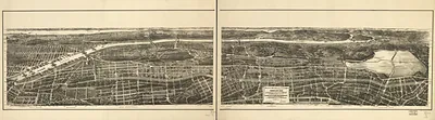
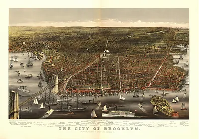
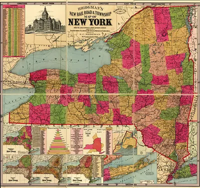
Bronx, New York, 1897 – Antique Map Print

(Each image is professionally and digitally cleaned of artifacts such as color bars and extra borders prior to printing.)
Description
Bronx, New York, 1897 comes to life in this antique map, reproduced from the original with every detail intact. It is part of the Snapshots of the Past archive, gathered over 25 years of research.
Order it framed and ready to hang, or unframed to match a frame you already love. A conversation-starting piece for home, office, or as a meaningful gift. Free shipping in the lower 48 states. Snapshots of the Past has been bringing history to the wall since 2001, for tens of thousands of customers worldwide.
Bronx, New York, 1897
Order a print
Thank you. Your order went through, and a receipt is on its way by email.
Secure checkout · SSL encryptedPowered by Stripe and PayPal
Free shipping in the lower 48 states. The checkout page shows the picture, size and price before you pay.
In 1897 the Bronx was still a patchwork of farms, country estates, and villages on the northern edge of New York City, and it would not become a borough until consolidation took effect on January 1, 1898. Its growth was driven by new rail and elevated transit lines that carried workers north from Manhattan, which turned open land along the Harlem River and Westchester Avenue into streets of rowhouses and flats. Brickmaking, quarrying, and small mills along the Bronx River gave local people their work, while the large estates of older families such as the Van Cortlandts and the Lorillards still shaped the land. The New York Botanical Garden had opened in Bronx Park only a few years earlier, in 1891, and residents were beginning to see the area as a place to live rather than a rural fringe of the city.
| Created / published | 1897 |
|---|---|
| Notes | Bird's-eye view map. |
| Subjects | Panoramic maps--New York |
| Original scan | 21,910 × 5,436 px · prints to 73 × 18 in at 300 dpi |
| Reference | NY Bronx 1897 |
More from the Panoramic Maps collection
Snapshots of the Past helps heritage brands, museums, historians and storytellers tell stories with history: historic prints, image licensing and historical storytelling drawn from more than 25 years of research and curation.