City of Providence, Rhode Island – Antique Map Print

(Each image is professionally and digitally cleaned of artifacts such as color bars and extra borders prior to printing.)
Description
This antique map of City of Providence, Rhode Island brings a moment of history to your wall. Drawn from the Snapshots of the Past archive, it is an authentic piece of documented history.
Order it framed and ready to hang, or unframed to match a frame you already love. It makes a striking addition to a living room, study or office, and a thoughtful gift. Free shipping in the lower 48 states. Snapshots of the Past has been bringing history to the wall since 2001, for tens of thousands of customers worldwide.
City of Providence, Rhode Island
Order a print
Thank you. Your order went through, and a receipt is on its way by email.
Secure checkout · SSL encryptedPowered by Stripe and PayPal
Free shipping in the lower 48 states. The checkout page shows the picture, size and price before you pay.
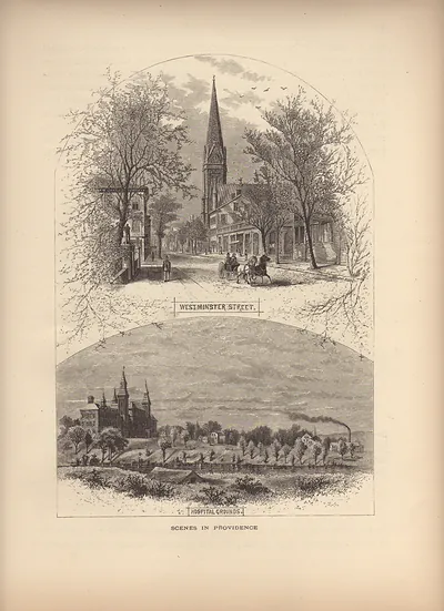
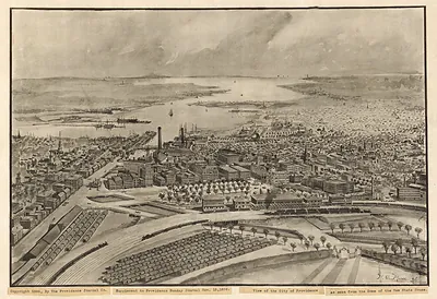
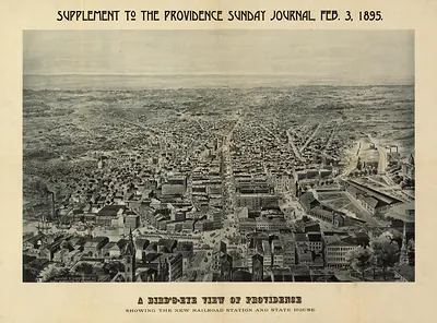
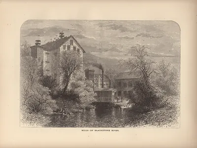
Providence in the 1880s was Rhode Island's industrial center, and the city called itself the "Jewelry City" because firms such as Gorham Manufacturing and Brown & Sharpe sent silverware and precision machine tools to national markets. Textile and metalworking mills lined the Woonasquatucket and Moshassuck rivers, and the harbor on Narragansett Bay handled coastal shipping and coal. Brown University crowned College Hill above a downtown crowded with rail lines and church spires, while the new State House was still some years from completion. Factory work drew large numbers of Irish, French Canadian, and Italian families, whose neighborhoods grew up within walking distance of the mills.
| Notes | Bird's-eye view map. |
|---|---|
| Subjects | Panoramic maps--Rhode Island |
| Original scan | 1,676 × 696 px · prints to 6 × 2 in at 300 dpi |
| Reference | RI City of Providence |
More from the Panoramic Maps collection
Snapshots of the Past helps heritage brands, museums, historians and storytellers tell stories with history: historic prints, image licensing and historical storytelling drawn from more than 25 years of research and curation.