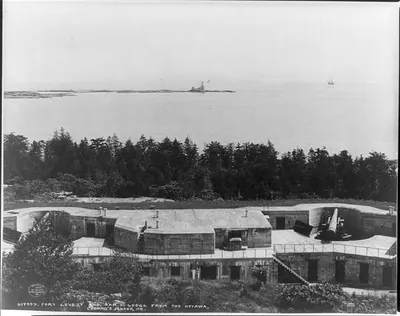
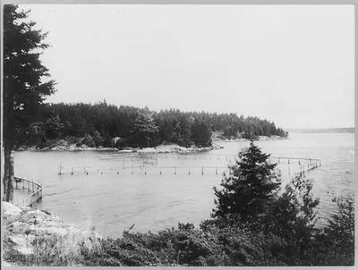
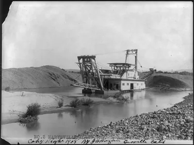
[Maine, 1888-1894: View of Passamaquoddy Bay, near Eastport] – Antique Photo Print

(Originally scanned by the Library of Congress. Each image is professionally and digitally cleaned of artifacts such as color bars and extra borders prior to printing.)
Description
Few images capture their era like this historic photograph of [Maine, 1888-1894: View of Passamaquoddy Bay, near Eastport]. Sourced directly from the Library of Congress, it represents an authentic piece of documented history.
The framed print arrives ready to hang; the unframed option suits custom framing. A fine choice for anyone who loves history, and a gift that gets noticed. Free shipping in the lower 48 states. Since 2001, Snapshots of the Past has shipped historic prints to tens of thousands of customers around the world.
[Maine, 1888-1894: View of Passamaquoddy Bay, near Eastport]
Order a print
Thank you. Your order went through, and a receipt is on its way by email.
Secure checkout · SSL encryptedPowered by Stripe and PayPal
Free shipping in the lower 48 states. The checkout page shows the picture, size and price before you pay.
This view looks across Passamaquoddy Bay near Eastport, the island town at Maine's easternmost edge, where the bay forms part of the border with New Brunswick. The caption card's subject tags point to farms, which fits the region's mix of farming, fishing, and coastal trade in the late 1880s and early 1890s. Eastport's economy then leaned heavily on the sea, and the bay's strong tides and shifting shoreline shaped how people worked the land and water. Views like this one record a working landscape at a time when the rural coast was changing quickly.
| Medium | 1 photographic print. |
|---|---|
| Notes | [between 1888 and 1894] |
| Subjects | This record contains unverified, old data from caption card. Caption card tracings: Farms--Misc.; Maine--Passamaquoddy Bay; Shelf. |
| Source | Library of Congress, Prints and Photographs Division |
| Original scan | 1,536 × 1,077 px · prints to 5 × 4 in at 300 dpi |
| Reference | AMZ-SOTP-HPA-136686 |
More from the Historic Print Archive collection
Snapshots of the Past helps heritage brands, museums, historians and storytellers tell stories with history: historic prints, image licensing and historical storytelling drawn from more than 25 years of research and curation.