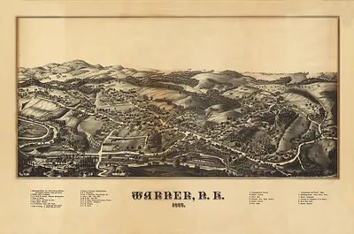
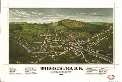
West Lebanon, New Hampshire, 1889 – Historic Map Reproduction

(Originally scanned by the Library of Congress. Each image is professionally and digitally cleaned of artifacts such as color bars and extra borders prior to printing.)
Description
This antique map of West Lebanon, New Hampshire, 1889 brings a moment of history to your wall. An authentic image from the Library of Congress, it carries the weight of the real historical record.
Library of Congress record: West Lebanon, N.H., and White River Junction, Vermont
Framed, it is ready for the wall; unframed, it is ready for the frame you choose. A conversation-starting piece for home, office, or as a meaningful gift. Free shipping in the lower 48 states. Since 2001, Snapshots of the Past has shipped historic prints to tens of thousands of customers around the world.
West Lebanon, New Hampshire, 1889
Order a print
Thank you. Your order went through, and a receipt is on its way by email.
Secure checkout · SSL encryptedPowered by Stripe and PayPal
Free shipping in the lower 48 states. The checkout page shows the picture, size and price before you pay.
West Lebanon, New Hampshire, in 1889 sat on the Mascoma River in the Upper Valley, where water power drove the mills and shops that gave the town its working character. Its neighbor Lebanon and the nearby college town of Hanover, home to Dartmouth College, drew students, farmers, and merchants into a shared network of roads and rail lines. Railroads carried lumber, dairy goods, and manufactured wares out of the valley and brought in coal, supplies, and travelers, and the freight yards and depots were busy places through the decade. Residents would have known the town as a small industrial center tied to the surrounding farmland, with churches, schools, and civic societies anchoring daily life. A bird's-eye view from this moment shows a community still defined by its river, its rail connections, and the steady labor of its mills.
| Created / published | 1889 |
|---|---|
| Creator | norris, george e., burleigh litho |
| Notes | Bird's-eye view map. |
| Subjects | Panoramic maps--New Hampshire |
| Source | Library of Congress, Panoramic Maps |
| Original scan | 8,208 × 5,472 px · prints to 27 × 18 in at 300 dpi |
| Library of Congress title | West Lebanon, N.H., and White River Junction, Vermont |
| Reference | NH-WestLebanon-1889 |
More from the Panoramic Maps collection
Snapshots of the Past helps heritage brands, museums, historians and storytellers tell stories with history: historic prints, image licensing and historical storytelling drawn from more than 25 years of research and curation.