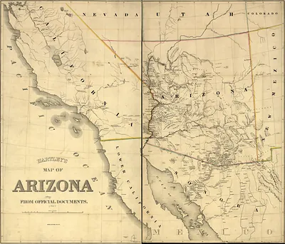
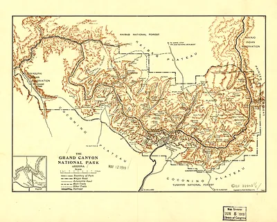
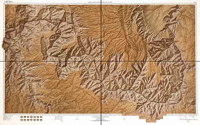
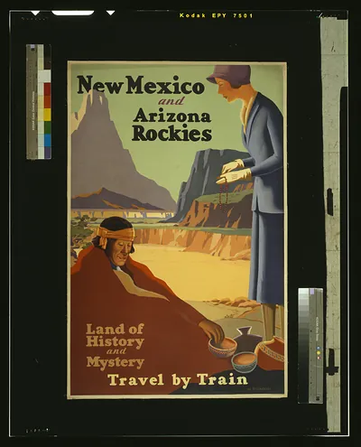
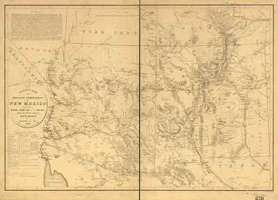
Arizona and New Mexico map, 1867 – Antique Map Print

(Each image is professionally and digitally cleaned of artifacts such as color bars and extra borders prior to printing.)
Description
This antique map of Arizona and New Mexico map, 1867 brings a moment of history to your wall. It is part of the Snapshots of the Past archive, gathered over 25 years of research.
Framed, it is ready for the wall; unframed, it is ready for the frame you choose. It makes a striking addition to a living room, study or office, and a thoughtful gift. Free shipping in the lower 48 states. Since 2001, Snapshots of the Past has shipped historic prints to tens of thousands of customers around the world.
Arizona and New Mexico map, 1867
Order a print
Thank you. Your order went through, and a receipt is on its way by email.
Secure checkout · SSL encryptedPowered by Stripe and PayPal
Free shipping in the lower 48 states. The checkout page shows the picture, size and price before you pay.
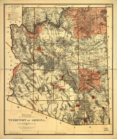
This 1867 map of Arizona and New Mexico is an unusual entry on a board of canyon views, and it reflects how the two territories looked to mapmakers at the time. Arizona had been split from New Mexico Territory only in 1863, and both were thinly settled and only partly surveyed in 1867. Much of the Colorado River's course through the Grand Canyon was still unmapped in detail until John Wesley Powell's expeditions of 1869 and 1871-72. Maps from this period are worth studying as much for their gaps as for their lines.
| Created / published | 1867 |
|---|---|
| Original scan | 4,402 × 3,564 px · prints to 15 × 12 in at 300 dpi |
| Reference | np000066 Arizona and New Mexico. 1867 |
More from the Grand Canyon collection
Snapshots of the Past helps heritage brands, museums, historians and storytellers tell stories with history: historic prints, image licensing and historical storytelling drawn from more than 25 years of research and curation.