Grand Canyon National Park, Arizona map, 1919 – Antique Wall Map

(Each image is professionally and digitally cleaned of artifacts such as color bars and extra borders prior to printing.)
Description
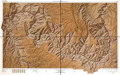
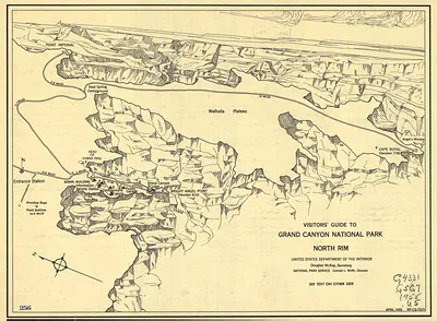
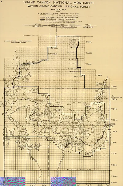
This rare antique map captures Grand Canyon National Park, Arizona map, 1919 in remarkable detail. It is part of the Snapshots of the Past archive, gathered over 25 years of research.
The framed print arrives ready to hang; the unframed option suits custom framing. Perfect for a home, office, library or classroom wall, and a gift with a story behind it. Free shipping in the lower 48 states. Snapshots of the Past has been bringing history to the wall since 2001, for tens of thousands of customers worldwide.
Grand Canyon National Park, Arizona map, 1919
Order a print
Thank you. Your order went through, and a receipt is on its way by email.
Secure checkout · SSL encryptedPowered by Stripe and PayPal
Free shipping in the lower 48 states. The checkout page shows the picture, size and price before you pay.
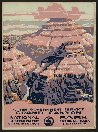
Few places on an Arizona map of 1919 carry as much weight as the Grand Canyon, which had only recently become a national park. Congress made the designation in February of that year, following an earlier step in 1908, when Theodore Roosevelt proclaimed the area a national monument. A map from this moment marks a turning point, as a gorge once reached mainly by mule or river expedition was now being drawn as a protected public destination. Note how the boundaries are set against the Colorado River, which carved the canyon over millions of years.
| Created / published | 1919 |
|---|---|
| Original scan | 3,802 × 3,048 px · prints to 13 × 10 in at 300 dpi |
| Reference | np000099 Grand Canyon National Park Arizona. 1919 |
More from the Grand Canyon collection
Snapshots of the Past helps heritage brands, museums, historians and storytellers tell stories with history: historic prints, image licensing and historical storytelling drawn from more than 25 years of research and curation.