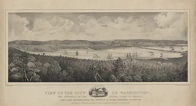
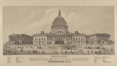
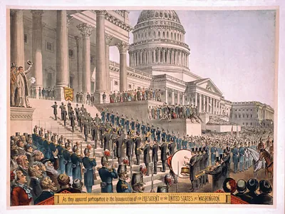
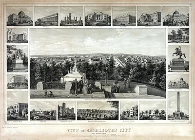
Johnson's Georgetown and the City of Washington: The Capital of the United States of America [1862] – Historic Reproduction

(Each image is professionally and digitally cleaned of artifacts such as color bars and extra borders prior to printing.)
Description
A window into the past: Johnson's Georgetown and the City of Washington: The Capital of the United States of America [1862], preserved in this antique map. Drawn from the Snapshots of the Past archive, it is an authentic piece of documented history.
Choose the framed print, ready to hang the day it arrives, or the unframed print for a frame of your own. A fine choice for anyone who loves history, and a gift that gets noticed. Free shipping in the lower 48 states. Snapshots of the Past has been bringing history to the wall since 2001, for tens of thousands of customers worldwide.
Johnson's Georgetown and the City of Washington: The Capital of the United States of America [1862]
Order a print
Thank you. Your order went through, and a receipt is on its way by email.
Secure checkout · SSL encryptedPowered by Stripe and PayPal
Free shipping in the lower 48 states. The checkout page shows the picture, size and price before you pay.
Few pictures of nineteenth-century Washington capture the city as a planned layout as well as this one does. Published in New York in 1862 by Johnson and Ward, this hand-colored map shows Georgetown and the city of Washington side by side, with the Capitol placed at the center of the street grid that Pierre L'Enfant had laid out decades earlier. The map appeared during the Civil War, when the capital was a Union stronghold surrounded by fortifications and crowded with soldiers, government clerks and refugees. Its colored outlines and precise street lines make it a useful record of how the city looked on paper at that moment, even as its daily life was shaped by the war.
| Created / published | 1862 |
|---|---|
| Medium | map, hand-colored, 29 x 36 cm |
| Notes | New York: Johnson and Ward |
| Original scan | 3,900 × 3,147 px · prints to 13 × 10 in at 300 dpi |
| Reference | 1862 ct000155 |
More from the U.S. Capitol collection
Snapshots of the Past helps heritage brands, museums, historians and storytellers tell stories with history: historic prints, image licensing and historical storytelling drawn from more than 25 years of research and curation.