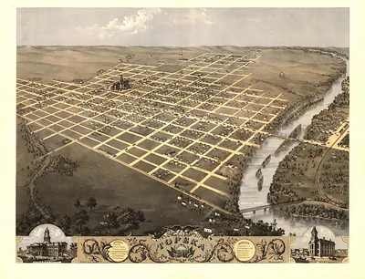
Wyandotte, Kansas, 1869 – Antique Map Print

(Originally scanned by the Library of Congress. Each image is professionally and digitally cleaned of artifacts such as color bars and extra borders prior to printing.)
Description
This antique map of Wyandotte, Kansas, 1869 brings a moment of history to your wall. The original is held by the Library of Congress, so what you hang is a true record of its time.
Library of Congress record: Bird's eye view of Wyandotte, Wyandotte Co., Kansas 1869
Framed, it is ready for the wall; unframed, it is ready for the frame you choose. It brings character to any room and makes a memorable gift. Free shipping in the lower 48 states. Snapshots of the Past has been bringing history to the wall since 2001, for tens of thousands of customers worldwide.
Wyandotte, Kansas, 1869
Order a print
Thank you. Your order went through, and a receipt is on its way by email.
Secure checkout · SSL encryptedPowered by Stripe and PayPal
Free shipping in the lower 48 states. The checkout page shows the picture, size and price before you pay.
Wyandotte, Kansas, in 1869 was a Missouri River town of a few thousand people, the seat of Wyandotte County, and it had grown up quickly since the mid-1850s on land tied to the Wyandot people. Its economy rested on river landings, warehousing, and the trade that moved through the Kansas City area, while the arrival of railroads in the region was beginning to reshape how goods and people reached the town. Residents were still living in the aftermath of the Civil War and the bitter border politics of the territorial years, when the town had helped draft the 1859 constitution that led to statehood in 1861. Those who lived there would have known Wyandotte as a young river city with ambitions of its own, a name it kept until 1886, when it became Kansas City, Kansas.
| Created / published | 1869 |
|---|---|
| Creator | ruger, a., merchant's lithographing company, hafften, c. |
| Notes | Bird's-eye view map. |
| Subjects | Panoramic maps--Kansas |
| Source | Library of Congress, Panoramic Maps |
| Original scan | 6,032 × 4,112 px · prints to 20 × 14 in at 300 dpi |
| Library of Congress title | Bird's eye view of Wyandotte, Wyandotte Co., Kansas 1869 |
| Reference | KS-Wyandotte-1869 |
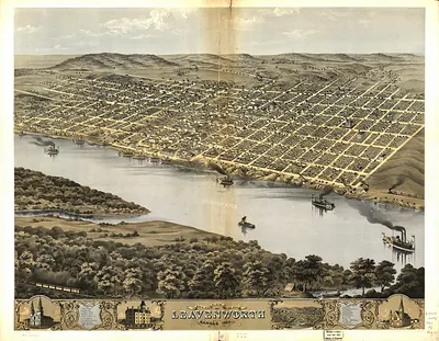
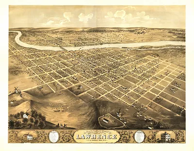
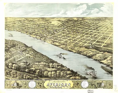
More from the Panoramic Maps collection
Snapshots of the Past helps heritage brands, museums, historians and storytellers tell stories with history: historic prints, image licensing and historical storytelling drawn from more than 25 years of research and curation.