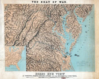
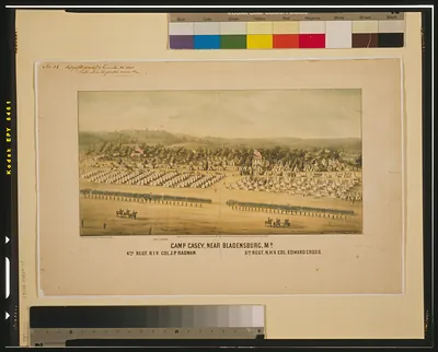
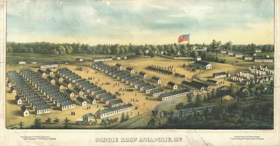
Railroad map of Maryland counties by John S. Clark – Historic Map Reproduction

(Each image is professionally and digitally cleaned of artifacts such as color bars and extra borders prior to printing.)
Description
Step back in time with Railroad map of Maryland counties by John S. Clark, an antique map rich in period detail. Drawn from the Snapshots of the Past archive, it is an authentic piece of documented history.
Order it framed and ready to hang, or unframed to match a frame you already love. A fine choice for anyone who loves history, and a gift that gets noticed. Free shipping in the lower 48 states. Since 2001, Snapshots of the Past has shipped historic prints to tens of thousands of customers around the world.
Railroad map of Maryland counties by John S. Clark
Order a print
Thank you. Your order went through, and a receipt is on its way by email.
Secure checkout · SSL encryptedPowered by Stripe and PayPal
Free shipping in the lower 48 states. The checkout page shows the picture, size and price before you pay.
A map of Maryland's counties with its railroad lines lets a viewer see at a glance which parts of the state were reached by track and which still depended on roads and waterways. Maps like this were made in the decades after the Baltimore and Ohio Railroad, chartered in 1827 and among the first common-carrier railroads in the United States, began building west from Baltimore. Clark's map shows how rail reshaped trade and travel in Maryland, tying farm counties to the port city and to lines running beyond the state.
| Original scan | 5,112 × 3,500 px · prints to 17 × 12 in at 300 dpi |
|---|---|
| Reference | 1861 Civil War Map Mid Atlantic-WHT |
More from the Mid-Atlantic collection
Snapshots of the Past helps heritage brands, museums, historians and storytellers tell stories with history: historic prints, image licensing and historical storytelling drawn from more than 25 years of research and curation.