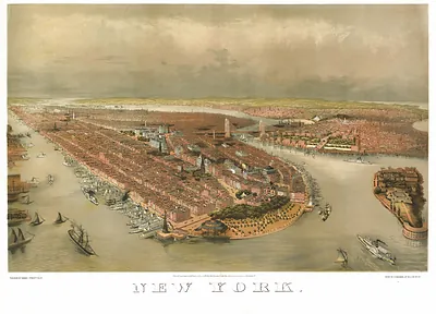
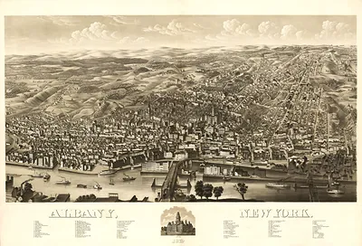
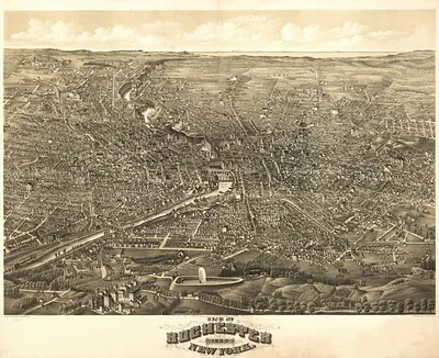
NY-New York-1856 – Antique Wall Map

(Each image is professionally and digitally cleaned of artifacts such as color bars and extra borders prior to printing.)
Description
Few images capture their era like this antique map of NY-New York-1856. It comes from the Snapshots of the Past collection, curated over 25 years for its historical value.
Choose the framed print, ready to hang the day it arrives, or the unframed print for a frame of your own. A fine choice for anyone who loves history, and a gift that gets noticed. Free shipping in the lower 48 states. Snapshots of the Past, founded in 2001, has served tens of thousands of customers worldwide.
NY-New York-1856
Order a print
Thank you. Your order went through, and a receipt is on its way by email.
Secure checkout · SSL encryptedPowered by Stripe and PayPal
Free shipping in the lower 48 states. The checkout page shows the picture, size and price before you pay.
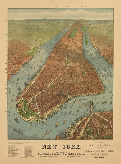
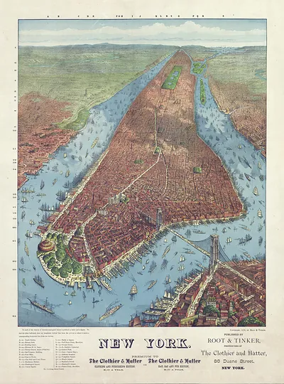
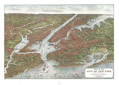
New York in 1856 was growing fast, and this panoramic map shows the city from an angled, elevated viewpoint that makes its streets easy to follow while keeping buildings and waterfront in profile. Maps like this were printed as lithographs and sold to a public eager to see booming cities at a glance. Look along the rivers, where the crowded piers and shipping show how much the city's growth depended on its harbor. Much of the land farther north, where Central Park would later be laid out beginning in 1857, was still largely undeveloped at the time.
| Original scan | 4,710 × 3,851 px · prints to 16 × 13 in at 300 dpi |
|---|---|
| Reference | NY-NewYork-1856 |
More from the PAN MAPS collection
Snapshots of the Past helps heritage brands, museums, historians and storytellers tell stories with history: historic prints, image licensing and historical storytelling drawn from more than 25 years of research and curation.