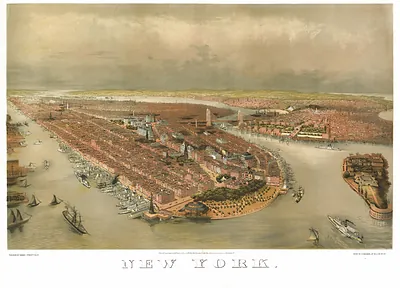
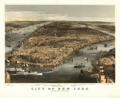
View of the City of New York and Vicinity – Antique Wall Map

(Each image is professionally and digitally cleaned of artifacts such as color bars and extra borders prior to printing.)
Description
Step back in time with View of the City of New York and Vicinity, an antique map rich in period detail. It comes from the Snapshots of the Past collection, curated over 25 years for its historical value.
Order it framed and ready to hang, or unframed to match a frame you already love. Perfect for a home, office, library or classroom wall, and a gift with a story behind it. Free shipping in the lower 48 states. Snapshots of the Past, founded in 2001, has served tens of thousands of customers worldwide.
View of the City of New York and Vicinity
Order a print
Thank you. Your order went through, and a receipt is on its way by email.
Secure checkout · SSL encryptedPowered by Stripe and PayPal
Free shipping in the lower 48 states. The checkout page shows the picture, size and price before you pay.
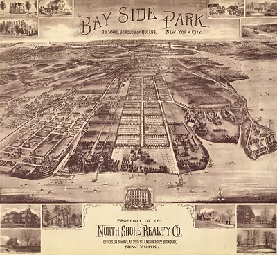
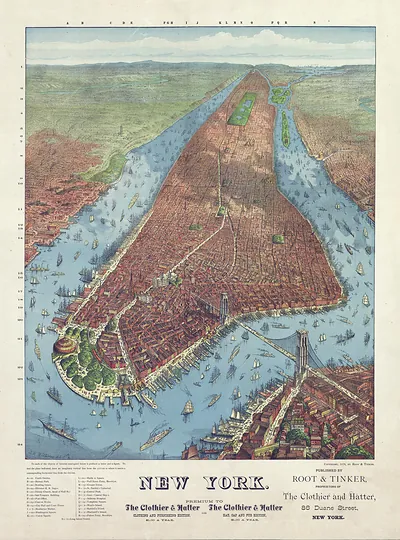
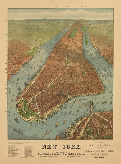
Unlike a flat street map, this view shows New York and the surrounding waters as they would appear from a high vantage point, with the harbor, rivers, and dense street grid laid out in perspective. Bird's-eye panoramas like this were popular in the 19th century, when the city was expanding quickly across Manhattan and onto neighboring shores, and they served both as civic showpieces and as practical guides to the port. Look closely at the waterfront and at how the built-up area thins toward the edges of the frame to see how contemporary viewers understood the city and its nearby towns.
| Original scan | 4,452 × 3,198 px · prints to 15 × 11 in at 300 dpi |
|---|---|
| Reference | NY-NewYorkCity-1907 |
More from the PAN MAPS collection
Snapshots of the Past helps heritage brands, museums, historians and storytellers tell stories with history: historic prints, image licensing and historical storytelling drawn from more than 25 years of research and curation.