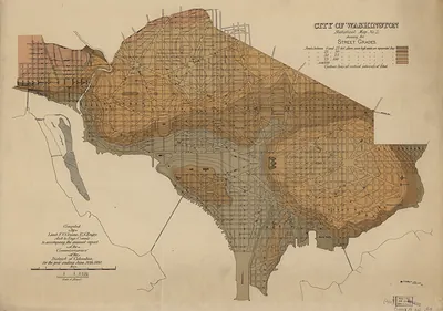
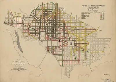
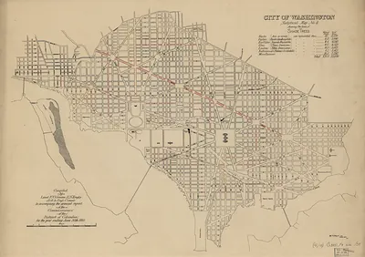
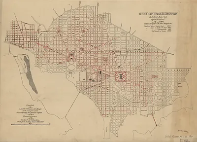
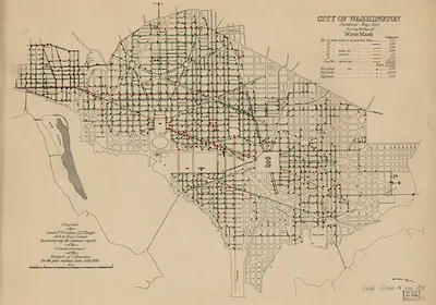
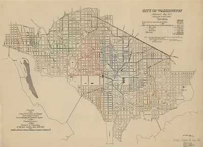
City of Washington, Statistical Map No. 1, Valuation of Real Property – Vintage Map Wall Art

(Each image is professionally and digitally cleaned of artifacts such as color bars and extra borders prior to printing.)
Description
This rare antique map captures City of Washington, Statistical Map No. 1, Valuation of Real Property in remarkable detail. It is part of the Snapshots of the Past archive, gathered over 25 years of research.
Order it framed and ready to hang, or unframed to match a frame you already love. A conversation-starting piece for home, office, or as a meaningful gift. Free shipping in the lower 48 states. Since 2001, Snapshots of the Past has shipped historic prints to tens of thousands of customers around the world.
City of Washington, Statistical Map No. 1, Valuation of Real Property
Order a print
Thank you. Your order went through, and a receipt is on its way by email.
Secure checkout · SSL encryptedPowered by Stripe and PayPal
Free shipping in the lower 48 states. The checkout page shows the picture, size and price before you pay.
Unlike the monument-filled views that usually represent the national capital, this map charts the assessed value of real estate across the city. Its shaded districts let viewers compare neighborhoods at a glance, a method that spread through American cities in the later 1800s as officials and reformers turned to graphic statistics for taxation and planning. Washington's land values were shaped by federal decisions, the growth of its street network and the city's uneven development, so the map doubles as a record of how the capital's wealth was distributed block by block.
| Original scan | 7,860 × 5,511 px · prints to 26 × 18 in at 300 dpi |
|---|---|
| Reference | cs000002 |
More from the Washington DC collection
Snapshots of the Past helps heritage brands, museums, historians and storytellers tell stories with history: historic prints, image licensing and historical storytelling drawn from more than 25 years of research and curation.