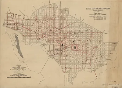
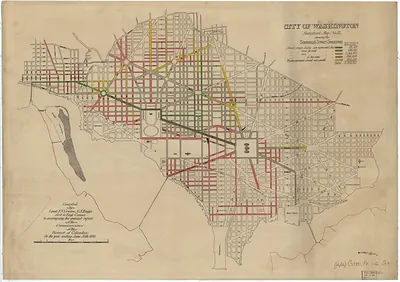
City of Washington Statistical Map No. 1, showing the location of the Sewers – Antique Map Print

(Each image is professionally and digitally cleaned of artifacts such as color bars and extra borders prior to printing.)
Description
A window into the past: City of Washington Statistical Map No. 1, showing the location of the Sewers, preserved in this antique map. Drawn from the Snapshots of the Past archive, it is an authentic piece of documented history.
Order it framed and ready to hang, or unframed to match a frame you already love. It brings character to any room and makes a memorable gift. Free shipping in the lower 48 states. Snapshots of the Past, founded in 2001, has served tens of thousands of customers worldwide.
City of Washington Statistical Map No. 1, showing the location of the Sewers
Order a print
Thank you. Your order went through, and a receipt is on its way by email.
Secure checkout · SSL encryptedPowered by Stripe and PayPal
Free shipping in the lower 48 states. The checkout page shows the picture, size and price before you pay.
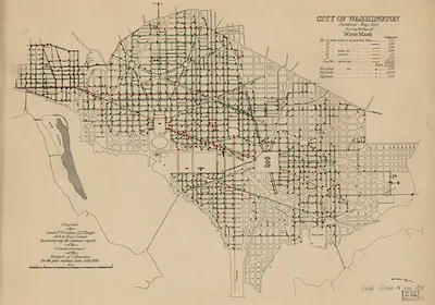
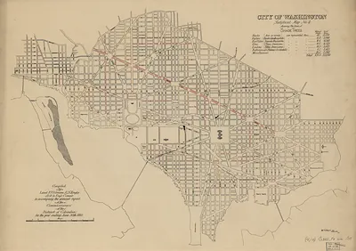
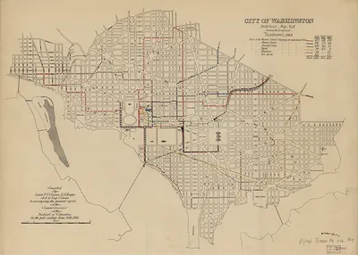
This map charts the underground sewer lines of Washington, D.C., rather than its streets or property lines. In the nineteenth century, the city struggled with open drainage, the old Washington City Canal, and polluted waterways such as Tiber Creek, which left low-lying areas unhealthy. Major sewer construction and grading in the 1870s, under the District's public works leadership, aimed to drain these areas and improve sanitation. Maps like this one helped officials see where the system ran and where it still needed to reach.
| Original scan | 7,680 × 5,580 px · prints to 26 × 19 in at 300 dpi |
|---|---|
| Reference | cs000008 |
More from the Washington DC collection
Snapshots of the Past helps heritage brands, museums, historians and storytellers tell stories with history: historic prints, image licensing and historical storytelling drawn from more than 25 years of research and curation.