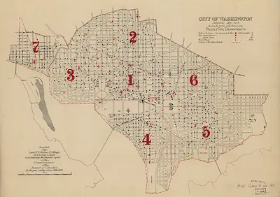
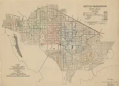
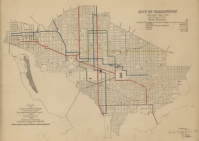
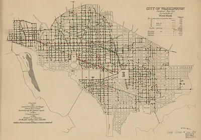
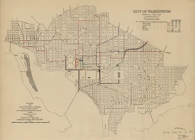
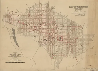
City of Washington Statistical Map No. 8, Public Schools – Vintage Map Wall Art

(Each image is professionally and digitally cleaned of artifacts such as color bars and extra borders prior to printing.)
Description
A window into the past: City of Washington Statistical Map No. 8, Public Schools, preserved in this antique map. Drawn from the Snapshots of the Past archive, it is an authentic piece of documented history.
The framed print arrives ready to hang; the unframed option suits custom framing. Perfect for a home, office, library or classroom wall, and a gift with a story behind it. Free shipping in the lower 48 states. Since 2001, Snapshots of the Past has shipped historic prints to tens of thousands of customers around the world.
City of Washington Statistical Map No. 8, Public Schools
Order a print
Thank you. Your order went through, and a receipt is on its way by email.
Secure checkout · SSL encryptedPowered by Stripe and PayPal
Free shipping in the lower 48 states. The checkout page shows the picture, size and price before you pay.
This sheet charts the locations of Washington's public schools, turning a civic inventory into a visual record of how education was spread across the city. Numbered statistical maps like this one were a common planning and reporting tool in the late nineteenth century. Washington's public schools were segregated by race for most of that period, with separate systems for white and Black children, so the placement of each school often reflects that divide. The map is a useful starting point for asking who had access to schooling in the capital.
| Original scan | 8,034 × 5,672 px · prints to 27 × 19 in at 300 dpi |
|---|---|
| Reference | cs000009 |
More from the Washington DC collection
Snapshots of the Past helps heritage brands, museums, historians and storytellers tell stories with history: historic prints, image licensing and historical storytelling drawn from more than 25 years of research and curation.