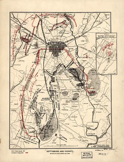
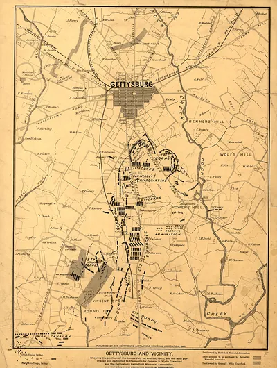
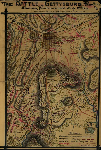
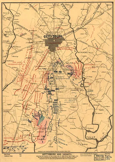
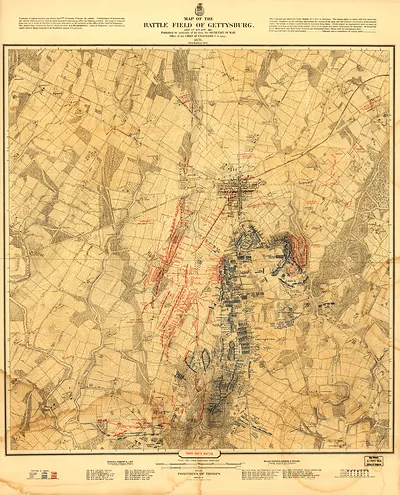
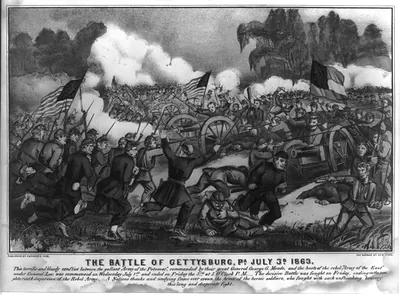
Gettysburg and Vicinity, Showing the Lines of Battle July 1863 – Antique Print

(Each image is professionally and digitally cleaned of artifacts such as color bars and extra borders prior to printing.)
Description
This historic image of Gettysburg and Vicinity, Showing the Lines of Battle July 1863 brings a moment of history to your wall. Drawn from the Snapshots of the Past archive, it is an authentic piece of documented history.
Choose the framed print, ready to hang the day it arrives, or the unframed print for a frame of your own. It brings character to any room and makes a memorable gift. Free shipping in the lower 48 states. Snapshots of the Past has been bringing history to the wall since 2001, for tens of thousands of customers worldwide.
Gettysburg and Vicinity, Showing the Lines of Battle July 1863
Order a print
Thank you. Your order went through, and a receipt is on its way by email.
Secure checkout · SSL encryptedPowered by Stripe and PayPal
Free shipping in the lower 48 states. The checkout page shows the picture, size and price before you pay.
Rather than a view of the ground itself, this is a map that traces where the opposing lines stood during the fighting of July 1863. The battle raged across the town and surrounding ridges from July 1 to 3, pitting Robert E. Lee's Army of Northern Virginia against George G. Meade's Army of the Potomac, and it ended Lee's invasion of the North. Although the map was made in 1922, about six decades after the battle, it presents the positions as they were later reconstructed, which helps explain how the terrain shaped the outcome.
| Created / published | 1922 |
|---|---|
| Original scan | 2,500 × 3,256 px · prints to 8 × 11 in at 300 dpi |
| Reference | 1274Gettysburgandvicinitysh_1922 |
More from the Gettysburg collection
Snapshots of the Past helps heritage brands, museums, historians and storytellers tell stories with history: historic prints, image licensing and historical storytelling drawn from more than 25 years of research and curation.