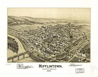
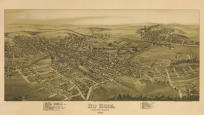
Mifflin, Pennsylvania, 1895 – Antique Map Print

(Originally scanned by the Library of Congress. Each image is professionally and digitally cleaned of artifacts such as color bars and extra borders prior to printing.)
Description
A window into the past: Mifflin, Pennsylvania, 1895, preserved in this antique map. Sourced directly from the Library of Congress, it represents an authentic piece of documented history.
Library of Congress record: Patterson, Juniata County, Pennsylvania
Choose the framed print, ready to hang the day it arrives, or the unframed print for a frame of your own. It makes a striking addition to a living room, study or office, and a thoughtful gift. Free shipping in the lower 48 states. Snapshots of the Past, founded in 2001, has served tens of thousands of customers worldwide.
Mifflin, Pennsylvania, 1895
Order a print
Thank you. Your order went through, and a receipt is on its way by email.
Secure checkout · SSL encryptedPowered by Stripe and PayPal
Free shipping in the lower 48 states. The checkout page shows the picture, size and price before you pay.
Mifflin, Pennsylvania, was the seat of Juniata County in 1895, a small town on the Juniata River in the valley that runs through the middle of the state. The Pennsylvania Railroad's main line followed that valley, and the trains carried grain, lumber, and livestock from the surrounding farms to eastern markets. Most families in the county still depended on farming, though the nearby hills supplied timber and the region's older iron industry had not yet faded. Residents in 1895 knew Mifflin as a quiet county town where the courthouse, the churches, and the railroad depot formed the center of daily life.
| Created / published | 1895 |
|---|---|
| Creator | moyer, james b., fowler, t. m. (thaddeus mortimer) |
| Notes | Bird's-eye view map. |
| Subjects | Panoramic maps--Pennsylvania |
| Source | Library of Congress, Panoramic Maps |
| Original scan | 4,512 × 3,440 px · prints to 15 × 11 in at 300 dpi |
| Library of Congress title | Patterson, Juniata County, Pennsylvania |
| Reference | PA-Mifflin-1895 |
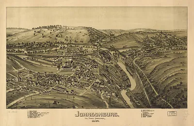
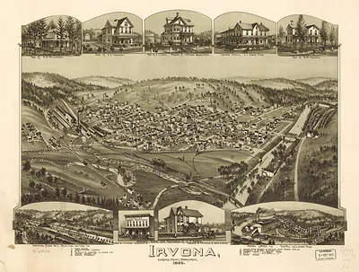
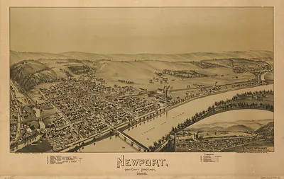
More from the Panoramic Maps collection
Snapshots of the Past helps heritage brands, museums, historians and storytellers tell stories with history: historic prints, image licensing and historical storytelling drawn from more than 25 years of research and curation.