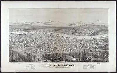
Portland, Oregon, 1888 – Antique Wall Map

(Each image is professionally and digitally cleaned of artifacts such as color bars and extra borders prior to printing.)
Description
This antique map of Portland, Oregon, 1888 brings a moment of history to your wall. It is part of the Snapshots of the Past archive, gathered over 25 years of research.
Order it framed and ready to hang, or unframed to match a frame you already love. A conversation-starting piece for home, office, or as a meaningful gift. Free shipping in the lower 48 states. Snapshots of the Past, founded in 2001, has served tens of thousands of customers worldwide.
Portland, Oregon, 1888
Order a print
Thank you. Your order went through, and a receipt is on its way by email.
Secure checkout · SSL encryptedPowered by Stripe and PayPal
Free shipping in the lower 48 states. The checkout page shows the picture, size and price before you pay.
Portland, Oregon, in 1888 was a river city whose fortunes still rose and fell with the Willamette and Columbia. The Oregon Railway and Navigation Company, controlled by Henry Villard's interests, carried wheat and flour from the interior valleys to the city's wharves, where grain and lumber were loaded for shipment downriver and overseas. Sawmills lined the Willamette, and the Oregonian, under publisher Henry Pittock, tracked steamer arrivals and freight rates in its daily columns. Residents also watched the city spread up the West Hills, where new houses and horsecar lines carried families away from the warehouses and docks below.
| Created / published | 1888 |
|---|---|
| Notes | Bird's-eye view map. |
| Subjects | Panoramic maps--Oregon |
| Original scan | 9,192 × 3,085 px · prints to 31 × 10 in at 300 dpi |
| Reference | OR-Portland-1888 |
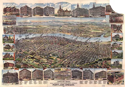
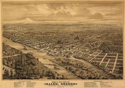
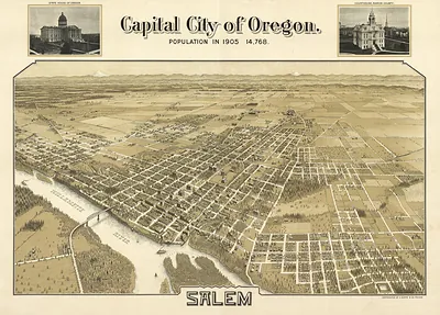
More from the Panoramic Maps collection
Snapshots of the Past helps heritage brands, museums, historians and storytellers tell stories with history: historic prints, image licensing and historical storytelling drawn from more than 25 years of research and curation.