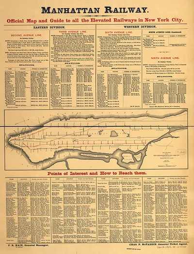
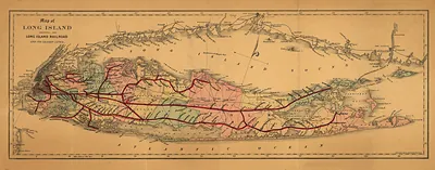
IL Chicago 1897 MAP – Antique Wall Map

(Each image is professionally and digitally cleaned of artifacts such as color bars and extra borders prior to printing.)
Description
IL Chicago 1897 MAP comes to life in this antique map, reproduced from the original with every detail intact. It comes from the Snapshots of the Past collection, curated over 25 years for its historical value.
The framed print arrives ready to hang; the unframed option suits custom framing. A fine choice for anyone who loves history, and a gift that gets noticed. Free shipping in the lower 48 states. Snapshots of the Past has been bringing history to the wall since 2001, for tens of thousands of customers worldwide.
IL Chicago 1897 MAP
Order a print
Thank you. Your order went through, and a receipt is on its way by email.
Secure checkout · SSL encryptedPowered by Stripe and PayPal
Free shipping in the lower 48 states. The checkout page shows the picture, size and price before you pay.
Chicago was the country's leading railroad hub in 1897, with lines arriving from every direction to downtown terminals and freight yards, which explains why this map sits among the train views. City maps of this era helped travelers and businesses find their way through a metropolis that had grown quickly since the Great Chicago Fire of 1871 and was still spreading outward. Notice how the rail corridors cut across the street grid and run along the lakefront, since those routes shaped where industry, warehouses and neighborhoods developed.
| Created / published | 1897 |
|---|---|
| Original scan | 3,783 × 3,420 px · prints to 13 × 11 in at 300 dpi |
| Reference | IL-Chicago-1897 |
More from the Trains collection
Snapshots of the Past helps heritage brands, museums, historians and storytellers tell stories with history: historic prints, image licensing and historical storytelling drawn from more than 25 years of research and curation.