Map of the Pittsburgh, Fort Wayne & Chicago Railroads – Historic Map Reproduction

(Each image is professionally and digitally cleaned of artifacts such as color bars and extra borders prior to printing.)
Description
Step back in time with Map of the Pittsburgh, Fort Wayne & Chicago Railroads, an antique map rich in period detail. It is part of the Snapshots of the Past archive, gathered over 25 years of research.
Framed, it is ready for the wall; unframed, it is ready for the frame you choose. Perfect for a home, office, library or classroom wall, and a gift with a story behind it. Free shipping in the lower 48 states. Snapshots of the Past has been bringing history to the wall since 2001, for tens of thousands of customers worldwide.
Map of the Pittsburgh, Fort Wayne & Chicago Railroads
Order a print
Thank you. Your order went through, and a receipt is on its way by email.
Secure checkout · SSL encryptedPowered by Stripe and PayPal
Free shipping in the lower 48 states. The checkout page shows the picture, size and price before you pay.
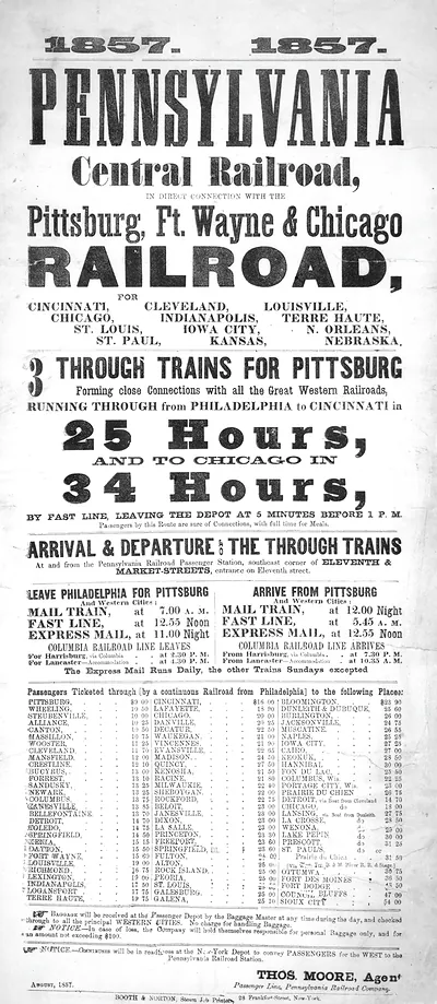
A route that ran west from Pittsburgh through Ohio and Indiana to Chicago is the focus of this railroad map, which shows how far the Pittsburgh, Fort Wayne & Chicago line reached into the Midwest. Its tracks linked the industrial East with the grain-producing prairie in the late 1850s, carrying coal, iron and manufactured goods in both directions. Maps like this one were printed to inform investors, travelers and shippers about towns, junctions and connections along the line. The Pennsylvania Railroad later took control of the company and folded it into its larger system.
| Original scan | 4,364 × 2,890 px · prints to 15 × 10 in at 300 dpi |
|---|---|
| Reference | Pittsburgh Fort Wayne |
More from the Trains collection
Snapshots of the Past helps heritage brands, museums, historians and storytellers tell stories with history: historic prints, image licensing and historical storytelling drawn from more than 25 years of research and curation.