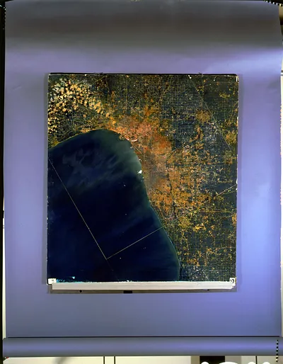
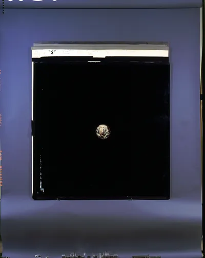
Satellite view of Earth showing clouds and North America – Vintage Wall Art

(Each image is professionally and digitally cleaned of artifacts such as color bars and extra borders prior to printing.)
Description
Few images capture their era like this historic image of Satellite view of Earth showing clouds and North America. It comes from the Snapshots of the Past collection, curated over 25 years for its historical value.
Choose the framed print, ready to hang the day it arrives, or the unframed print for a frame of your own. A fine choice for anyone who loves history, and a gift that gets noticed. Free shipping in the lower 48 states. Since 2001, Snapshots of the Past has shipped historic prints to tens of thousands of customers around the world.
Satellite view of Earth showing clouds and North America
Order a print
Thank you. Your order went through, and a receipt is on its way by email.
Secure checkout · SSL encryptedPowered by Stripe and PayPal
Free shipping in the lower 48 states. The checkout page shows the picture, size and price before you pay.
Clouds drift across North America in this view from high above the planet, with the continent's outline visible beneath the weather systems. Pictures like this became possible in 1960, when the TIROS-1 weather satellite sent back the first television images of cloud cover seen from orbit. Forecasters soon used such views to track storms, fronts and hurricanes, and the same vantage point later helped scientists study land use, snow cover and changes along coastlines.
| Original scan | 1,158 × 1,442 px · prints to 4 × 5 in at 300 dpi |
|---|---|
| Reference | 3g05469_ |
More from the Astrology & Magic collection
Snapshots of the Past helps heritage brands, museums, historians and storytellers tell stories with history: historic prints, image licensing and historical storytelling drawn from more than 25 years of research and curation.