Civil War Map MD DC DE PA – Antique Map Print

(Each image is professionally and digitally cleaned of artifacts such as color bars and extra borders prior to printing.)
Description
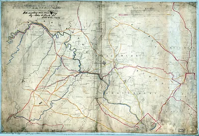
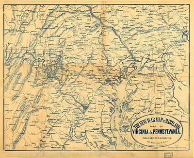
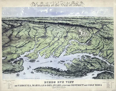
This antique map of Civil War Map MD DC DE PA brings a moment of history to your wall. It comes from the Snapshots of the Past collection, curated over 25 years for its historical value.
The framed print arrives ready to hang; the unframed option suits custom framing. It brings character to any room and makes a memorable gift. Free shipping in the lower 48 states. Since 2001, Snapshots of the Past has shipped historic prints to tens of thousands of customers around the world.
Civil War Map MD DC DE PA
Order a print
Thank you. Your order went through, and a receipt is on its way by email.
Secure checkout · SSL encryptedPowered by Stripe and PayPal
Free shipping in the lower 48 states. The checkout page shows the picture, size and price before you pay.
This broad map takes in four jurisdictions at once: Maryland, the District of Columbia, Delaware, and Pennsylvania, so it shows the whole Mid-Atlantic stage rather than one battlefield. Those states mattered greatly during the Civil War. Maryland stayed in the Union but had divided loyalties, Washington was the national capital, and Pennsylvania became the scene of the Gettysburg campaign in the summer of 1863 as Confederate forces moved north. Maps like this helped officers and the public follow troop movements, supply lines, and the distances between the capital and the front.
| Original scan | 6,428 × 6,384 px · prints to 21 × 21 in at 300 dpi |
|---|---|
| Reference | 1865 Civil War Map MD DC DE PA |
More from the Gettysburg collection
Snapshots of the Past helps heritage brands, museums, historians and storytellers tell stories with history: historic prints, image licensing and historical storytelling drawn from more than 25 years of research and curation.