Civil War Map Mid Atlantic-WHT – Vintage Map Wall Art

(Each image is professionally and digitally cleaned of artifacts such as color bars and extra borders prior to printing.)
Description
This rare antique map captures Civil War Map Mid Atlantic-WHT in remarkable detail. It is part of the Snapshots of the Past archive, gathered over 25 years of research.
The framed print arrives ready to hang; the unframed option suits custom framing. It brings character to any room and makes a memorable gift. Free shipping in the lower 48 states. Snapshots of the Past, founded in 2001, has served tens of thousands of customers worldwide.
Civil War Map Mid Atlantic-WHT
Order a print
Thank you. Your order went through, and a receipt is on its way by email.
Secure checkout · SSL encryptedPowered by Stripe and PayPal
Free shipping in the lower 48 states. The checkout page shows the picture, size and price before you pay.
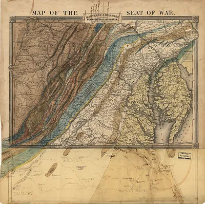
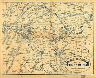
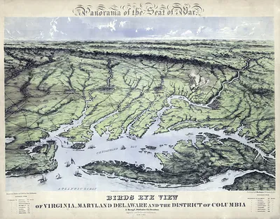
As a Mid-Atlantic map filed with the Gettysburg material, it shows the town within a much wider region of roads, rivers and rail lines that armies used to move between Washington, Baltimore and Harrisburg. During the Civil War, control of these routes shaped the campaigns of 1862 and 1863, when Union and Confederate forces repeatedly crossed Maryland, Virginia and Pennsylvania. Maps like this were essential to commanders and newspaper readers alike, since they showed how far a small town lay from the next supply depot or battlefield. Its interest today lies in seeing how Gettysburg fit into a theater of war that stretched far beyond its own fields.
| Original scan | 5,112 × 3,500 px · prints to 17 × 12 in at 300 dpi |
|---|---|
| Reference | 1861 Civil War Map Mid Atlantic-WHT |
More from the Gettysburg collection
Snapshots of the Past helps heritage brands, museums, historians and storytellers tell stories with history: historic prints, image licensing and historical storytelling drawn from more than 25 years of research and curation.