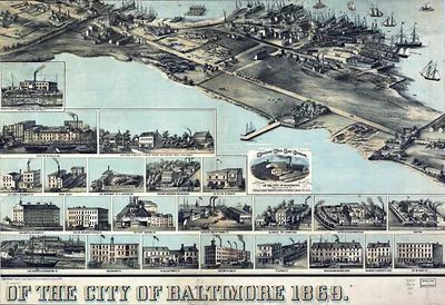
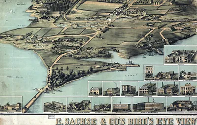
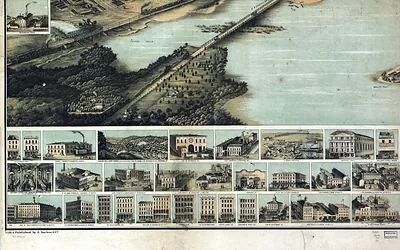
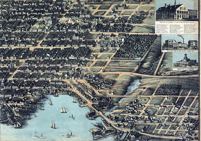
34, Maryland – Vintage Map Wall Art

(Each image is professionally and digitally cleaned of artifacts such as color bars and extra borders prior to printing.)
Description
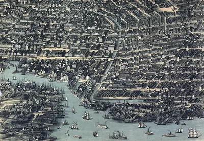
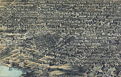
A window into the past: 34, Maryland, preserved in this antique map. It is part of the Snapshots of the Past archive, gathered over 25 years of research.
Order it framed and ready to hang, or unframed to match a frame you already love. It makes a striking addition to a living room, study or office, and a thoughtful gift. Free shipping in the lower 48 states. Snapshots of the Past, founded in 2001, has served tens of thousands of customers worldwide.
34, Maryland
Order a print
Thank you. Your order went through, and a receipt is on its way by email.
Secure checkout · SSL encryptedPowered by Stripe and PayPal
Free shipping in the lower 48 states. The checkout page shows the picture, size and price before you pay.
Baltimore in 1869 was the largest city in Maryland and one of the busiest ports on the Atlantic seaboard, with roughly 267,000 residents by the 1870 census. Its harbor, warehouses and shipyards handled grain, tobacco and coal, and the Baltimore and Ohio Railroad, with its main offices and Camden Station near the downtown, tied the city to the interior. Canning, clothing manufacturing and iron works employed many of its workers, and the city was still sorting out its postwar identity after the Civil War, when its divided loyalties had brought Union troops into the streets. Residents knew it for its rowhouse neighborhoods, its church spires and the Washington Monument rising over Mount Vernon Place.
| Notes | Bird's-eye view map. |
|---|---|
| Subjects | Panoramic maps--Maryland |
| Original scan | 1,166 × 803 px |
| Reference | 34 |
More from the Panoramic Maps collection
Snapshots of the Past helps heritage brands, museums, historians and storytellers tell stories with history: historic prints, image licensing and historical storytelling drawn from more than 25 years of research and curation.