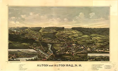
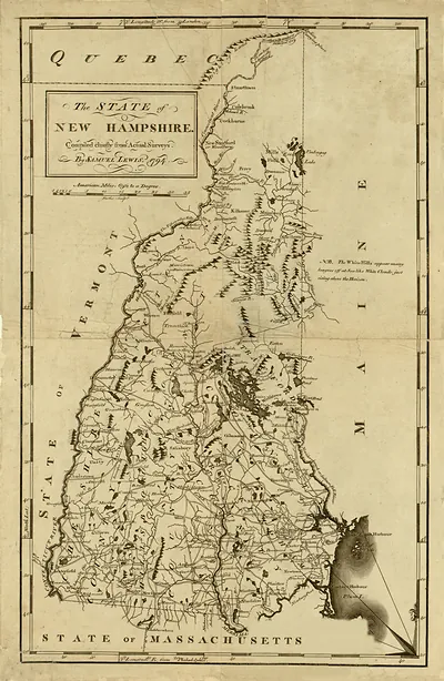
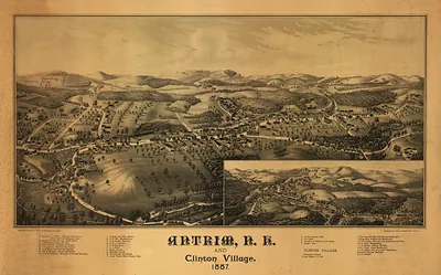
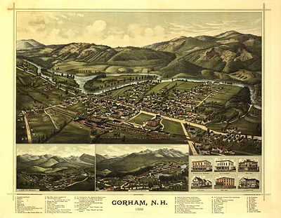
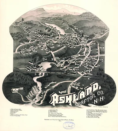
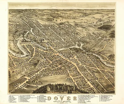
S. New Hampshire, New Hampshire, 1871 – Antique Map Print

(Each image is professionally and digitally cleaned of artifacts such as color bars and extra borders prior to printing.)
Description
This antique map of S. New Hampshire, New Hampshire, 1871 brings a moment of history to your wall. Drawn from the Snapshots of the Past archive, it is an authentic piece of documented history.
Framed, it is ready for the wall; unframed, it is ready for the frame you choose. A conversation-starting piece for home, office, or as a meaningful gift. Free shipping in the lower 48 states. Since 2001, Snapshots of the Past has shipped historic prints to tens of thousands of customers around the world.
S. New Hampshire, New Hampshire, 1871
Order a print
Thank you. Your order went through, and a receipt is on its way by email.
Secure checkout · SSL encryptedPowered by Stripe and PayPal
Free shipping in the lower 48 states. The checkout page shows the picture, size and price before you pay.
New Hampshire in 1871 was a state whose economy still ran largely on water power and cloth. Along the Merrimack and Salmon Falls rivers, textile and machine works employed large numbers of workers, many of them women from farm families and, increasingly, French-Canadian and Irish immigrants who had come south to find mill jobs. Railroads linked the mill towns to Boston and to one another, carrying raw cotton and finished goods, and the granite quarries of the state shipped stone for buildings and monuments. Town and city governments were busy with schools, street paving, and the housing needed for growing populations. Residents of the region would have known their towns first by the sound of the mill bells and the smoke above the river, which set the daily rhythm of work for thousands of families.
| Created / published | 1871 |
|---|---|
| Notes | Bird's-eye view map. |
| Subjects | Panoramic maps--New Hampshire |
| Original scan | 10,121 × 7,264 px · prints to 34 × 24 in at 300 dpi |
| Reference | NH S. New Hampshire 1871 |
More from the Panoramic Maps collection
Snapshots of the Past helps heritage brands, museums, historians and storytellers tell stories with history: historic prints, image licensing and historical storytelling drawn from more than 25 years of research and curation.