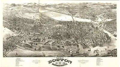
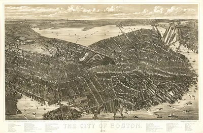
Boston, Massachusetts, 1902 – Vintage Map Wall Art

(Originally scanned by the Library of Congress. Each image is professionally and digitally cleaned of artifacts such as color bars and extra borders prior to printing.)
Description
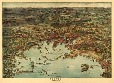
This rare antique map captures Boston, Massachusetts, 1902 in remarkable detail. Sourced directly from the Library of Congress, it represents an authentic piece of documented history.
Library of Congress record: Bird's eye view of Boston
The framed print arrives ready to hang; the unframed option suits custom framing. Perfect for a home, office, library or classroom wall, and a gift with a story behind it. Free shipping in the lower 48 states. Snapshots of the Past has been bringing history to the wall since 2001, for tens of thousands of customers worldwide.
Boston, Massachusetts, 1902
Order a print
Thank you. Your order went through, and a receipt is on its way by email.
Secure checkout · SSL encryptedPowered by Stripe and PayPal
Free shipping in the lower 48 states. The checkout page shows the picture, size and price before you pay.
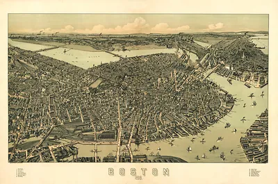
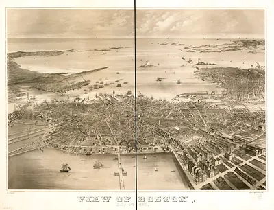
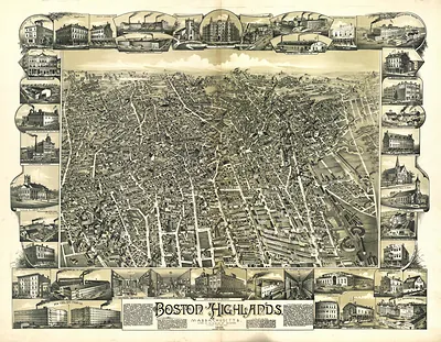
Boston in 1902 was a port city of more than half a million people, as the 1900 census had recorded. The bird's-eye view shows the old peninsula crowded with wharves, warehouses, and wholesale houses, while the Back Bay and the annexed neighborhoods filled in around them. Shoe and leather firms, wool dealers, and printers still anchored the economy, and the elevated railroad along Atlantic Avenue, opened in 1901, carried workers along the waterfront toward the rail terminals. Baseball had also become a point of civic pride, since the Boston Americans began play in 1901 at the Huntington Avenue Grounds.
| Created / published | 1902 |
|---|---|
| Creator | geo. h. walker & co |
| Notes | Bird's-eye view map. |
| Subjects | Panoramic maps--Massachusetts |
| Source | Library of Congress, Panoramic Maps |
| Original scan | 8,288 × 5,712 px · prints to 28 × 19 in at 300 dpi |
| Library of Congress title | Bird's eye view of Boston |
| Reference | MA-Boston-1902 |
More from the Panoramic Maps collection
Snapshots of the Past helps heritage brands, museums, historians and storytellers tell stories with history: historic prints, image licensing and historical storytelling drawn from more than 25 years of research and curation.