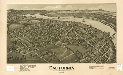
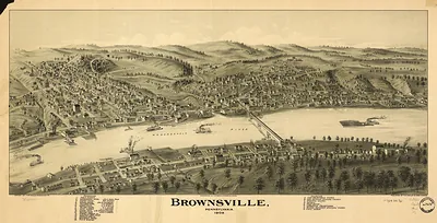
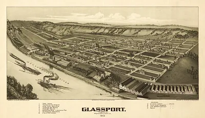
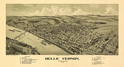
Dawson, Pennsylvania, 1902 – Antique Wall Map

(Originally scanned by the Library of Congress. Each image is professionally and digitally cleaned of artifacts such as color bars and extra borders prior to printing.)
Description
This antique map of Dawson, Pennsylvania, 1902 brings a moment of history to your wall. The original is held by the Library of Congress, so what you hang is a true record of its time.
Library of Congress record: Dawson, Pennsylvania 1902
Order it framed and ready to hang, or unframed to match a frame you already love. A fine choice for anyone who loves history, and a gift that gets noticed. Free shipping in the lower 48 states. Snapshots of the Past, founded in 2001, has served tens of thousands of customers worldwide.
Dawson, Pennsylvania, 1902
Order a print
Thank you. Your order went through, and a receipt is on its way by email.
Secure checkout · SSL encryptedPowered by Stripe and PayPal
Free shipping in the lower 48 states. The checkout page shows the picture, size and price before you pay.
Dawson, Pennsylvania, sat on the Youghiogheny River in Fayette County in 1902, in the bituminous coal country southeast of Pittsburgh. Its economy rested on coal mining and the coke ovens that turned that coal into fuel for the iron and steel furnaces of the Pittsburgh district, and in the early 1900s the valley's mines and ovens drew in a steady stream of workers, many of them immigrants from southern and eastern Europe. Rail lines along the river carried coal and coke out and supplies in, so the town's fortunes rose and fell with mine output and the price of coke. Residents of the time would have known Dawson first as a company-shaped mining community, where work whistles set the day, churches and fraternal lodges gave people their social lives, and the next shift at the pit mattered more than any distant politics.
| Created / published | 1902 |
|---|---|
| Creator | fowler, t. m. (thaddeus mortimer) |
| Notes | An original bird's-eye view map of Dawson, Pennsylvania, drawn in 1902. Bird's-eye view maps were drawn by travelling artists who walked a town street by street, sketching every building from an imagined vantage point in the air, then sold the finished lithograph door to door by subscription. Roughly five thousand American towns were recorded this way between the 1860s and the 1920s, and for many of them the panoramic map is the most complete picture of the place that survives. Reproduced from the original in the Library of Congress collections. Printed to order on archival paper. Free shipping on all US orders. |
| Subjects | Panoramic maps--Pennsylvania |
| Source | Library of Congress, Panoramic Maps |
| Original scan | 6,464 × 5,152 px · prints to 22 × 17 in at 300 dpi |
| Library of Congress title | Dawson, Pennsylvania 1902 |
| Reference | AMZ-SOTP-OYK-490524 |
More from the Panoramic Maps collection
Snapshots of the Past helps heritage brands, museums, historians and storytellers tell stories with history: historic prints, image licensing and historical storytelling drawn from more than 25 years of research and curation.