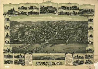
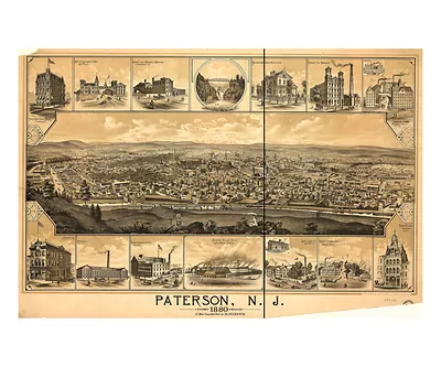
Atlantic City, New Jersey, 1880 – Antique Map Print

(Originally scanned by the Library of Congress. Each image is professionally and digitally cleaned of artifacts such as color bars and extra borders prior to printing.)
Description
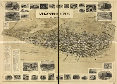
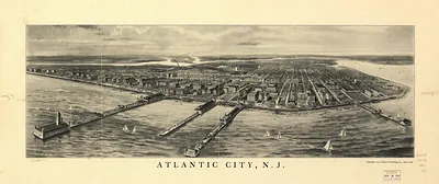
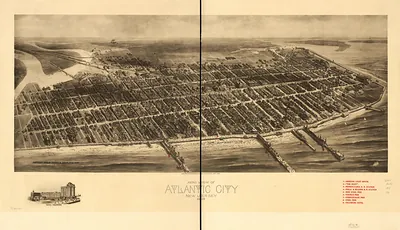
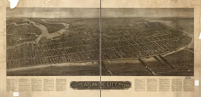
A window into the past: Atlantic City, New Jersey, 1880, preserved in this antique map. It comes from the collections of the Library of Congress, scanned from the original and carefully restored.
Library of Congress record: Atlantic City, N.J. 1880
Order it framed and ready to hang, or unframed to match a frame you already love. It makes a striking addition to a living room, study or office, and a thoughtful gift. Free shipping in the lower 48 states. Since 2001, Snapshots of the Past has shipped historic prints to tens of thousands of customers around the world.
Atlantic City, New Jersey, 1880
Order a print
Thank you. Your order went through, and a receipt is on its way by email.
Secure checkout · SSL encryptedPowered by Stripe and PayPal
Free shipping in the lower 48 states. The checkout page shows the picture, size and price before you pay.
Atlantic City, New Jersey, in 1880 was a young seaside resort that had grown up on a barrier island after the Camden and Atlantic Railroad reached it in 1854. Hotels, boarding houses, and bathing businesses drew most of its income, and visitors arriving by train from Philadelphia and other inland cities made up the bulk of its summer trade. The boardwalk, laid down in 1870, gave strollers a place to walk above the sand and helped establish the town's reputation for leisure and sea air. Local residents knew the place as a summer destination whose fortunes rose and fell with the railroad schedule and the season.
| Created / published | 1880 |
|---|---|
| Creator | landis, t. j. shepherd |
| Notes | Bird's-eye view map. |
| Subjects | Panoramic maps--New Jersey |
| Source | Library of Congress, Panoramic Maps |
| Original scan | 9,840 × 7,136 px · prints to 33 × 24 in at 300 dpi |
| Library of Congress title | Atlantic City, N.J. 1880 |
| Reference | NJ-AtlanticCity-1880 |
More from the Panoramic Maps collection
Snapshots of the Past helps heritage brands, museums, historians and storytellers tell stories with history: historic prints, image licensing and historical storytelling drawn from more than 25 years of research and curation.