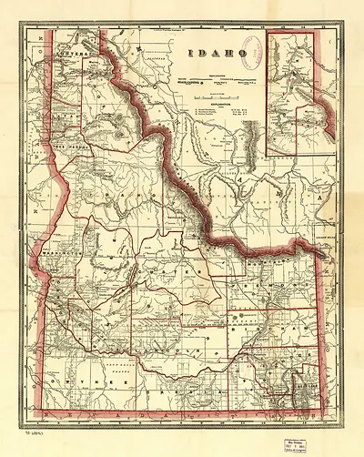
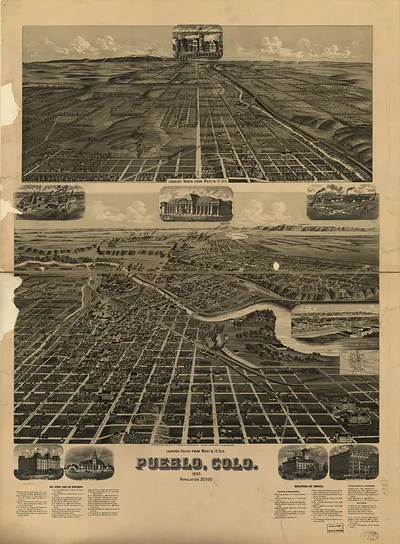
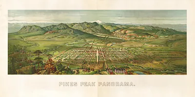
Northern Pacific 1890, Idaho – Antique Map Print

(Each image is professionally and digitally cleaned of artifacts such as color bars and extra borders prior to printing.)
Description
This antique map of Northern Pacific 1890, Idaho brings a moment of history to your wall. Drawn from the Snapshots of the Past archive, it is an authentic piece of documented history.
Choose the framed print, ready to hang the day it arrives, or the unframed print for a frame of your own. It brings character to any room and makes a memorable gift. Free shipping in the lower 48 states. Snapshots of the Past, founded in 2001, has served tens of thousands of customers worldwide.
Northern Pacific 1890, Idaho
Order a print
Thank you. Your order went through, and a receipt is on its way by email.
Secure checkout · SSL encryptedPowered by Stripe and PayPal
Free shipping in the lower 48 states. The checkout page shows the picture, size and price before you pay.
Idaho in 1890 was a territory on the edge of statehood, which came on July 3 of that year, and the Northern Pacific Railway was the main way goods and people reached its northern counties. The line ran across the panhandle through the Clark Fork and Pend Oreille country, where lumber mills, farms, and mining camps depended on trains to ship their output to markets in the Midwest and on the Pacific coast. Silver and lead from the Coeur d'Alene district to the north drew much of the rail traffic, and mining towns there were growing quickly. Statehood brought new county and town governments, and residents of the north and south often disagreed about where the capital and public money should go. This map presents the railroad as the thread tying those scattered settlements together.
| Notes | Bird's-eye view map. |
|---|---|
| Subjects | Panoramic maps--Idaho |
| Original scan | 12,809 × 6,526 px · prints to 43 × 22 in at 300 dpi |
| Reference | Northern Pacific 1890 |
More from the Panoramic Maps collection
Snapshots of the Past helps heritage brands, museums, historians and storytellers tell stories with history: historic prints, image licensing and historical storytelling drawn from more than 25 years of research and curation.