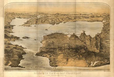
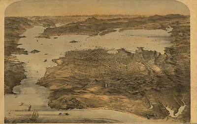
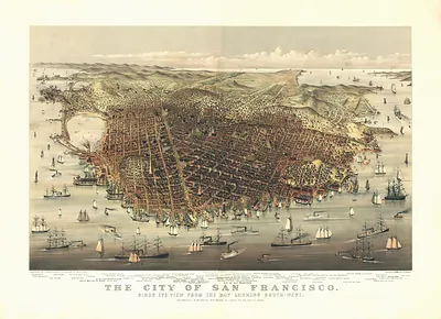
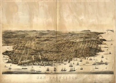
San Francisco, California, 1875 – Historic Map Reproduction

(Originally scanned by the Library of Congress. Each image is professionally and digitally cleaned of artifacts such as color bars and extra borders prior to printing.)
Description
San Francisco, California, 1875 comes to life in this antique map, reproduced from the original with every detail intact. An authentic image from the Library of Congress, it carries the weight of the real historical record.
Library of Congress record: Graphic chart of the city and county of San Francisco
Framed, it is ready for the wall; unframed, it is ready for the frame you choose. It makes a striking addition to a living room, study or office, and a thoughtful gift. Free shipping in the lower 48 states. Snapshots of the Past has been bringing history to the wall since 2001, for tens of thousands of customers worldwide.
San Francisco, California, 1875
Order a print
Thank you. Your order went through, and a receipt is on its way by email.
Secure checkout · SSL encryptedPowered by Stripe and PayPal
Free shipping in the lower 48 states. The checkout page shows the picture, size and price before you pay.
San Francisco in 1875 was still reeling from the Panic of 1873, which had caught speculators who had bet heavily on the Comstock silver boom. In August the Bank of California, the financial heart of the city, closed its doors, and its president, William C. Ralston, died days later after a swim in the bay, a loss that shook a town that had trusted him. Even so, the grand Palace Hotel was rising on Market Street as a statement of confidence. Cable cars now climbed hills that had once seemed impassable, and Golden Gate Park was taking shape on the sand dunes to the west. Residents knew their city as a place where fortunes rose and fell faster than anywhere else on the coast.
| Created / published | 1875 |
|---|---|
| Creator | marriott, frederick, mendenhall, j., wyneken, leopold ernest, townsend, louis r., britton, rey & co |
| Notes | Bird's-eye view map. |
| Subjects | Panoramic maps--California |
| Source | Library of Congress, Panoramic Maps |
| Original scan | 9,648 × 6,480 px · prints to 32 × 22 in at 300 dpi |
| Library of Congress title | Graphic chart of the city and county of San Francisco |
| Reference | CA-SanFrancisco-1875 |
More from the Panoramic Maps collection
Snapshots of the Past helps heritage brands, museums, historians and storytellers tell stories with history: historic prints, image licensing and historical storytelling drawn from more than 25 years of research and curation.