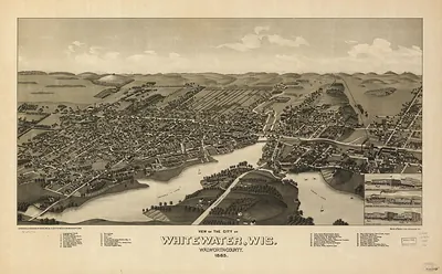
West Superior, Wisconsin, 1887 – Antique Wall Map

(Originally scanned by the Library of Congress. Each image is professionally and digitally cleaned of artifacts such as color bars and extra borders prior to printing.)
Description
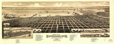
Few images capture their era like this antique map of West Superior, Wisconsin, 1887. Sourced directly from the Library of Congress, it represents an authentic piece of documented history.
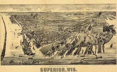
Library of Congress record: Perspective map of West Superior, Wis
Framed, it is ready for the wall; unframed, it is ready for the frame you choose. It makes a striking addition to a living room, study or office, and a thoughtful gift. Free shipping in the lower 48 states. Since 2001, Snapshots of the Past has shipped historic prints to tens of thousands of customers around the world.
West Superior, Wisconsin, 1887
Order a print
Thank you. Your order went through, and a receipt is on its way by email.
Secure checkout · SSL encryptedPowered by Stripe and PayPal
Free shipping in the lower 48 states. The checkout page shows the picture, size and price before you pay.
West Superior, Wisconsin, in 1887 was a young lake port at the western tip of Lake Superior, across the bay from Superior and Duluth. Its fortunes rested on the Northern Pacific Railroad, which had made the head of the lake a shipping point, and on lumber moving down from the pine forests of northwestern Wisconsin and Minnesota. Sawmills, docks, coal and grain handling, and rail yards lined the shoreline, and the town's residents, many of them recent arrivals from Scandinavia, Germany, and eastern states, depended on the steady flow of cargo through the harbor. The boom of the mid-1880s had brought fast growth, and the people who lived there knew their town mainly as a place where timber and freight were loaded onto lake steamers.
| Created / published | 1887 |
|---|---|
| Creator | henry wellge & co |
| Notes | Bird's-eye view map. |
| Subjects | Panoramic maps--Wisconsin |
| Source | Library of Congress, Panoramic Maps |
| Original scan | 6,944 × 5,392 px · prints to 23 × 18 in at 300 dpi |
| Library of Congress title | Perspective map of West Superior, Wis |
| Reference | WI-West Superior-1887 |
More from the Panoramic Maps collection
Snapshots of the Past helps heritage brands, museums, historians and storytellers tell stories with history: historic prints, image licensing and historical storytelling drawn from more than 25 years of research and curation.