Superior Duluth, Wisconsin – Vintage Map Wall Art

(Originally scanned by the Library of Congress. Each image is professionally and digitally cleaned of artifacts such as color bars and extra borders prior to printing.)
Description
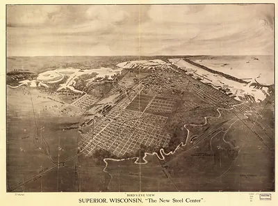
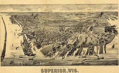
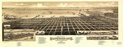
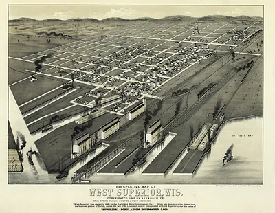
A window into the past: Superior Duluth, Wisconsin, preserved in this antique map. An authentic image from the Library of Congress, it carries the weight of the real historical record.
Library of Congress record: The twin ports, Superior, Wisconsin, Duluth, Minnesota
Framed, it is ready for the wall; unframed, it is ready for the frame you choose. It makes a striking addition to a living room, study or office, and a thoughtful gift. Free shipping in the lower 48 states. Since 2001, Snapshots of the Past has shipped historic prints to tens of thousands of customers around the world.
Superior Duluth, Wisconsin
Order a print
Thank you. Your order went through, and a receipt is on its way by email.
Secure checkout · SSL encryptedPowered by Stripe and PayPal
Free shipping in the lower 48 states. The checkout page shows the picture, size and price before you pay.
Superior, Wisconsin, and Duluth, Minnesota, sat across the harbor at the western tip of Lake Superior in 1915, together known as the Head of the Lakes. Duluth had grown up around shipping iron ore from the Mesabi Range, with ore docks and rail yards along its waterfront. Superior, on the Wisconsin shore, handled grain, lumber and coal, and its elevators and mills depended on the same railroads that carried raw materials to the water. Ships moved this cargo east through the Great Lakes, and by 1915 the war in Europe had raised demand for American grain and steel, keeping the harbor busy. Residents would have known the twin cities as the gateway between the upper Midwest and eastern markets.
| Created / published | 1915 |
|---|---|
| Creator | wellge, h. (henry), northern scenic publishing company, freeman eng. co |
| Notes | Bird's-eye view map. |
| Subjects | Panoramic maps--Wisconsin |
| Source | Library of Congress, Panoramic Maps |
| Original scan | 11,168 × 5,136 px · prints to 37 × 17 in at 300 dpi |
| Library of Congress title | The twin ports, Superior, Wisconsin, Duluth, Minnesota |
| Reference | WI-SuperiorDuluth |
More from the Panoramic Maps collection
Snapshots of the Past helps heritage brands, museums, historians and storytellers tell stories with history: historic prints, image licensing and historical storytelling drawn from more than 25 years of research and curation.