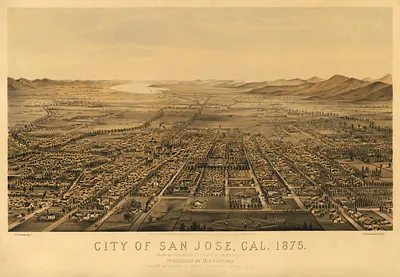
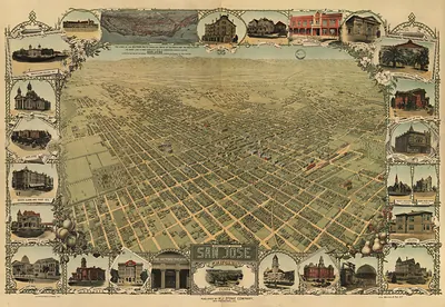
San Jose, California, 1869 – Antique Wall Map

(Originally scanned by the Library of Congress. Each image is professionally and digitally cleaned of artifacts such as color bars and extra borders prior to printing.)
Description
This rare antique map captures San Jose, California, 1869 in remarkable detail. The original is held by the Library of Congress, so what you hang is a true record of its time.
Library of Congress record: Bird's eye view of the city of San José, Cal
Order it framed and ready to hang, or unframed to match a frame you already love. It makes a striking addition to a living room, study or office, and a thoughtful gift. Free shipping in the lower 48 states. Since 2001, Snapshots of the Past has shipped historic prints to tens of thousands of customers around the world.
San Jose, California, 1869
Order a print
Thank you. Your order went through, and a receipt is on its way by email.
Secure checkout · SSL encryptedPowered by Stripe and PayPal
Free shipping in the lower 48 states. The checkout page shows the picture, size and price before you pay.
San Jose in 1869 was the largest town in the Santa Clara Valley and the seat of Santa Clara County, serving a farming district known for its orchards, vineyards, and grain fields. The town had been California's first state capital in 1850 before the government moved on, and by the late 1860s it counted several thousand residents, with a growing mix of merchants, craftsmen, and Mexican-era families whose land had passed into American hands. The Central Pacific's completion in 1869 linked the Bay Area to the East and sharpened the competition for valley produce, while a rail spur to the coast at Alviso gave local shippers a route to the bay. Churches, schools, and the county courthouse anchored civic life, and the town's streets were laid out on the old Spanish grid around the Plaza.
| Created / published | 1869 |
|---|---|
| Creator | nagel, l. (louis), gray, w. vallance |
| Notes | Bird's-eye view map. |
| Subjects | Panoramic maps--California |
| Source | Library of Congress, Panoramic Maps |
| Original scan | 9,008 × 6,112 px · prints to 30 × 20 in at 300 dpi |
| Library of Congress title | Bird's eye view of the city of San José, Cal |
| Reference | CA-SanJose-1869 |
More from the Panoramic Maps collection
Snapshots of the Past helps heritage brands, museums, historians and storytellers tell stories with history: historic prints, image licensing and historical storytelling drawn from more than 25 years of research and curation.