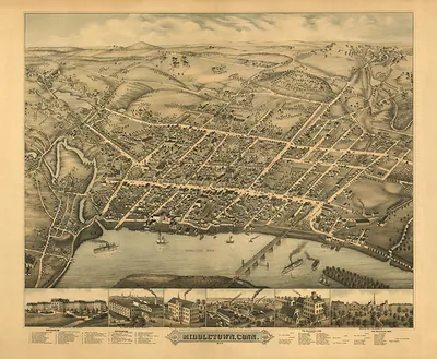
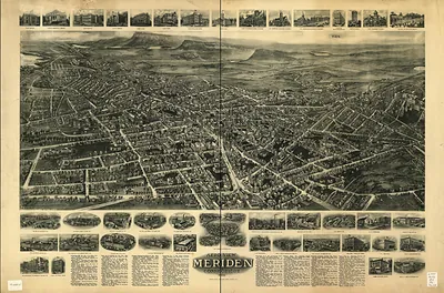
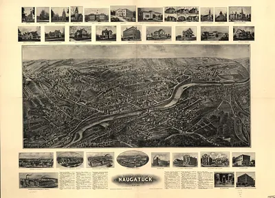
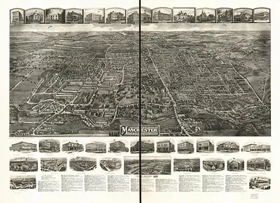
Middletown, Connecticut, 1915 – Antique Wall Map

(Originally scanned by the Library of Congress. Each image is professionally and digitally cleaned of artifacts such as color bars and extra borders prior to printing.)
Description
Step back in time with Middletown, Connecticut, 1915, an antique map rich in period detail. Sourced directly from the Library of Congress, it represents an authentic piece of documented history.
Library of Congress record: Aero view of Middletown, Connecticut 1915
The framed print arrives ready to hang; the unframed option suits custom framing. It makes a striking addition to a living room, study or office, and a thoughtful gift. Free shipping in the lower 48 states. Snapshots of the Past, founded in 2001, has served tens of thousands of customers worldwide.
Middletown, Connecticut, 1915
Order a print
Thank you. Your order went through, and a receipt is on its way by email.
Secure checkout · SSL encryptedPowered by Stripe and PayPal
Free shipping in the lower 48 states. The checkout page shows the picture, size and price before you pay.
In 1915 Middletown was feeling the pull of the First World War, which had been raging in Europe for about a year. Connecticut's factories took on orders for munitions, textiles, and metal goods from abroad, and local shops that had run on steady domestic business began to hire more workers and add shifts. Trolley lines and automobiles were changing how people moved between the downtown and the neighborhoods on the hills, while the older river wharves handled less freight than they once had. Residents who looked at a bird's-eye view that year would have recognized the church spires, the factory chimneys, and the college buildings as the landmarks of a town that was growing busier and more crowded.
| Created / published | 1915 |
|---|---|
| Creator | hughes & bailey, fowler, t. m. (thaddeus mortimer) |
| Notes | Bird's-eye view map. |
| Subjects | Panoramic maps--Connecticut |
| Source | Library of Congress, Panoramic Maps |
| Original scan | 11,239 × 7,104 px · prints to 37 × 24 in at 300 dpi |
| Library of Congress title | Aero view of Middletown, Connecticut 1915 |
| Reference | CT-Middletown-1915 |
More from the Panoramic Maps collection
Snapshots of the Past helps heritage brands, museums, historians and storytellers tell stories with history: historic prints, image licensing and historical storytelling drawn from more than 25 years of research and curation.