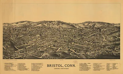
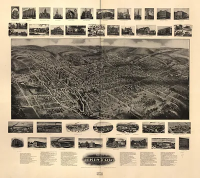
Connecticut Valley from Mt. Holyoke, Connecticut, 1850 – Historic Map Reproduction

(Each image is professionally and digitally cleaned of artifacts such as color bars and extra borders prior to printing.)
Description
Step back in time with Connecticut Valley from Mt. Holyoke, Connecticut, 1850, an antique map rich in period detail. It comes from the Snapshots of the Past collection, curated over 25 years for its historical value.
Order it framed and ready to hang, or unframed to match a frame you already love. It makes a striking addition to a living room, study or office, and a thoughtful gift. Free shipping in the lower 48 states. Since 2001, Snapshots of the Past has shipped historic prints to tens of thousands of customers around the world.
Connecticut Valley from Mt. Holyoke, Connecticut, 1850
Order a print
Thank you. Your order went through, and a receipt is on its way by email.
Secure checkout · SSL encryptedPowered by Stripe and PayPal
Free shipping in the lower 48 states. The checkout page shows the picture, size and price before you pay.
In 1850, the Connecticut River valley around Mount Holyoke in western Massachusetts was still a farming region of tobacco fields, orchards, and river meadows, with small mill villages along the water. Northampton, Hadley, and South Hadley were the main towns in view, and the railroad line that followed the river had recently brought travelers and freight into the valley. Mount Holyoke itself drew visitors who climbed the ridge for the broad prospect over the river bends, and the nearby Mount Holyoke Female Seminary, founded in South Hadley by Mary Lyon, was already known across New England for educating young women. Residents of the valley would have recognized the scene as the working landscape that connected their towns to Springfield and to markets downriver.
| Created / published | 1850 |
|---|---|
| Notes | Bird's-eye view map. |
| Subjects | Panoramic maps--Connecticut |
| Original scan | 2,332 × 2,952 px · prints to 8 × 10 in at 300 dpi |
| Reference | CT Connecticut Valley from Mt. Holyoke 1850 |
More from the Panoramic Maps collection
Snapshots of the Past helps heritage brands, museums, historians and storytellers tell stories with history: historic prints, image licensing and historical storytelling drawn from more than 25 years of research and curation.