Lewis and Clark Centennial Exposition bird's-eye map, 1905 – Vintage Map Wall Art

(Each image is professionally and digitally cleaned of artifacts such as color bars and extra borders prior to printing.)
Description
Step back in time with Lewis and Clark Centennial Exposition bird's-eye map, 1905, an antique map rich in period detail. It comes from the Snapshots of the Past collection, curated over 25 years for its historical value.
The framed print arrives ready to hang; the unframed option suits custom framing. It makes a striking addition to a living room, study or office, and a thoughtful gift. Free shipping in the lower 48 states. Snapshots of the Past, founded in 2001, has served tens of thousands of customers worldwide.
Lewis and Clark Centennial Exposition bird's-eye map, 1905
Order a print
Thank you. Your order went through, and a receipt is on its way by email.
Secure checkout · SSL encryptedPowered by Stripe and PayPal
Free shipping in the lower 48 states. The checkout page shows the picture, size and price before you pay.
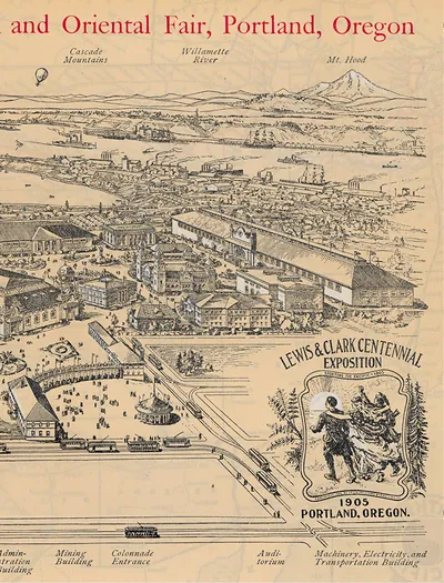
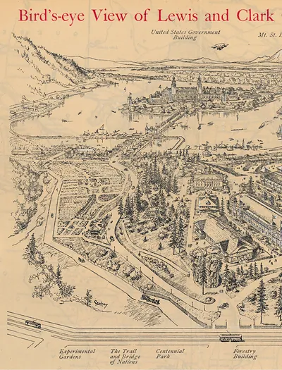
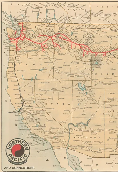
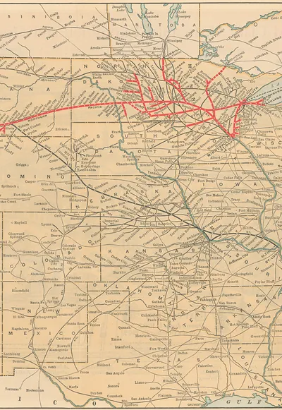
The Lewis and Clark Centennial Exposition opened in Portland, Oregon, in June 1905 to mark a century since the expedition reached the Pacific coast. This bird's-eye map shows the fairgrounds as an observer high above would have seen them, with buildings, walkways and open grounds laid out across the site. Perspective maps like this were a common promotional tool at expositions of the period, helping visitors picture the layout before they arrived. Worth noticing is how the drawing turns a temporary fairground into a clear, orderly plan.
| Original scan | 1,790 × 2,350 px · prints to 6 × 8 in at 300 dpi |
|---|---|
| Reference | EXP0057c |
More from the Yellowstone collection
Snapshots of the Past helps heritage brands, museums, historians and storytellers tell stories with history: historic prints, image licensing and historical storytelling drawn from more than 25 years of research and curation.