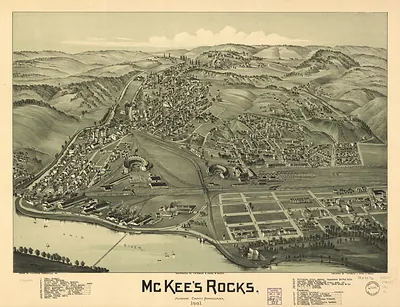
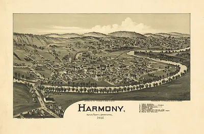
Zelionople, Pennsylvania, 1901 – Historic Map Reproduction

(Each image is professionally and digitally cleaned of artifacts such as color bars and extra borders prior to printing.)
Description
A window into the past: Zelionople, Pennsylvania, 1901, preserved in this antique map. Drawn from the Snapshots of the Past archive, it is an authentic piece of documented history.
Choose the framed print, ready to hang the day it arrives, or the unframed print for a frame of your own. It makes a striking addition to a living room, study or office, and a thoughtful gift. Free shipping in the lower 48 states. Since 2001, Snapshots of the Past has shipped historic prints to tens of thousands of customers around the world.
Zelionople, Pennsylvania, 1901
Order a print
Thank you. Your order went through, and a receipt is on its way by email.
Secure checkout · SSL encryptedPowered by Stripe and PayPal
Free shipping in the lower 48 states. The checkout page shows the picture, size and price before you pay.
Zelienople, in Butler County about thirty miles north of Pittsburgh, was a small German-heritage town in 1901, built around farming, local trade, and the goods that moved through the surrounding countryside. Its residents lived in the long shadow of the Pittsburgh industrial district, where steel mills and coal operations drew workers and capital from across western Pennsylvania and kept rail traffic busy through the region. Butler County's older economy rested on farms, small mills, and the oil and gas activity that had transformed parts of the county a generation earlier. For people in Zelienople, the town was a place of churches, schools, and fraternal societies, and of close ties to neighboring farms and villages. A bird's-eye view like this one would have shown them the streets and buildings they knew well, at a moment when the region was growing fast and small towns were measuring their change against the big mills to the south.
| Created / published | 1901 |
|---|---|
| Notes | Bird's-eye view map. |
| Subjects | Panoramic maps--Pennsylvania |
| Original scan | 6,792 × 4,240 px · prints to 23 × 14 in at 300 dpi |
| Reference | PA-Zelionople-1901 |
More from the Panoramic Maps collection
Snapshots of the Past helps heritage brands, museums, historians and storytellers tell stories with history: historic prints, image licensing and historical storytelling drawn from more than 25 years of research and curation.