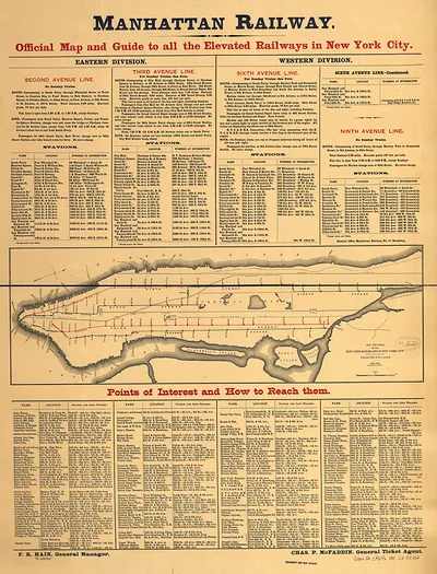
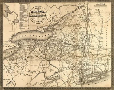
Railroad and County Map of New York – Antique Map Print

(Each image is professionally and digitally cleaned of artifacts such as color bars and extra borders prior to printing.)
Description
A window into the past: Railroad and County Map of New York, preserved in this antique map. It is part of the Snapshots of the Past archive, gathered over 25 years of research.
Order it framed and ready to hang, or unframed to match a frame you already love. A fine choice for anyone who loves history, and a gift that gets noticed. Free shipping in the lower 48 states. Snapshots of the Past, founded in 2001, has served tens of thousands of customers worldwide.
Railroad and County Map of New York
Order a print
Thank you. Your order went through, and a receipt is on its way by email.
Secure checkout · SSL encryptedPowered by Stripe and PayPal
Free shipping in the lower 48 states. The checkout page shows the picture, size and price before you pay.
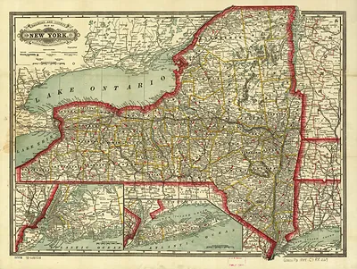
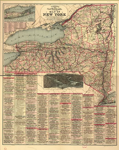
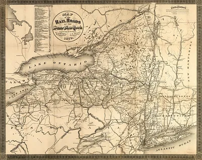
A railroad map of New York from 1888 shows how dense the state's rail network had become by the late nineteenth century. Maps of this kind were usually compiled for travelers, shippers and land agents, who needed to see which towns sat on which line and where connections could be made. Because county boundaries are drawn alongside the tracks, the sheet also serves as a record of how the state was divided and settled at the time. Rail lines of this era were privately built, so the competing companies' routes and the towns they linked reveal much about commerce in the period.
| Created / published | 1888 |
|---|---|
| Original scan | 3,000 × 2,259 px · prints to 10 × 8 in at 300 dpi |
| Reference | NY RR Crams township and rail road map of New York. 1888 |
More from the Railroads & Depots collection
Snapshots of the Past helps heritage brands, museums, historians and storytellers tell stories with history: historic prints, image licensing and historical storytelling drawn from more than 25 years of research and curation.