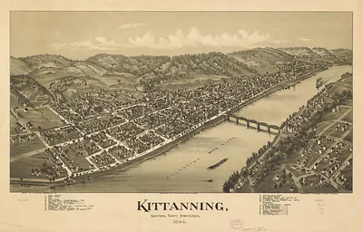
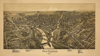
Clarion, Pennsylvania, 1896 – Antique Map Print

(Originally scanned by the Library of Congress. Each image is professionally and digitally cleaned of artifacts such as color bars and extra borders prior to printing.)
Description
This antique map of Clarion, Pennsylvania, 1896 brings a moment of history to your wall. The original is held by the Library of Congress, so what you hang is a true record of its time.
Library of Congress record: Clarion, Clarion County, Pennsylvania 1896
Order it framed and ready to hang, or unframed to match a frame you already love. A fine choice for anyone who loves history, and a gift that gets noticed. Free shipping in the lower 48 states. Since 2001, Snapshots of the Past has shipped historic prints to tens of thousands of customers around the world.
Clarion, Pennsylvania, 1896
Order a print
Thank you. Your order went through, and a receipt is on its way by email.
Secure checkout · SSL encryptedPowered by Stripe and PayPal
Free shipping in the lower 48 states. The checkout page shows the picture, size and price before you pay.
Clarion, the seat of Clarion County in northwestern Pennsylvania, was a river town in 1896, set in hilly country along the Clarion River. Lumber and the tanning of hemlock bark sustained much of the local economy, while oil drilling in the wider region, which had begun with the Drake well in 1859, kept drillers, teamsters, and supply merchants busy. The Clarion State Normal School, founded in 1867 to train teachers, gave the town a steady stream of students and a civic identity tied to schooling. Residents would have known Clarion as a county center of courthouse business, churches, and small manufacturing, with its fortunes rising and falling alongside the timber and oil cycles of the surrounding hills.
| Created / published | 1896 |
|---|---|
| Creator | moyer, james b., fowler, t. m. (thaddeus mortimer) |
| Notes | Bird's-eye view map. |
| Subjects | Panoramic maps--Pennsylvania |
| Source | Library of Congress, Panoramic Maps |
| Original scan | 7,456 × 5,096 px · prints to 25 × 17 in at 300 dpi |
| Library of Congress title | Clarion, Clarion County, Pennsylvania 1896 |
| Reference | PA-Clarion-1896 |
More from the Panoramic Maps collection
Snapshots of the Past helps heritage brands, museums, historians and storytellers tell stories with history: historic prints, image licensing and historical storytelling drawn from more than 25 years of research and curation.