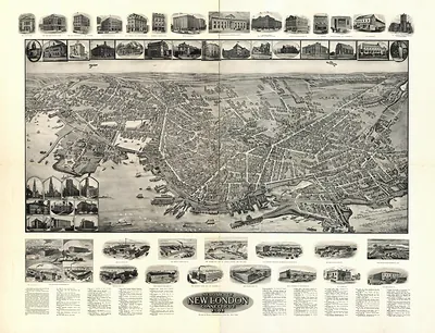
New Britain, Connecticut, 1875 – Vintage Map Wall Art

(Originally scanned by the Library of Congress. Each image is professionally and digitally cleaned of artifacts such as color bars and extra borders prior to printing.)
Description
This rare antique map captures New Britain, Connecticut, 1875 in remarkable detail. An authentic image from the Library of Congress, it carries the weight of the real historical record.
Library of Congress record: View of New Britain, Conn. 1875
Order it framed and ready to hang, or unframed to match a frame you already love. A conversation-starting piece for home, office, or as a meaningful gift. Free shipping in the lower 48 states. Since 2001, Snapshots of the Past has shipped historic prints to tens of thousands of customers around the world.
New Britain, Connecticut, 1875
Order a print
Thank you. Your order went through, and a receipt is on its way by email.
Secure checkout · SSL encryptedPowered by Stripe and PayPal
Free shipping in the lower 48 states. The checkout page shows the picture, size and price before you pay.
New Britain, Connecticut, in 1875 was a fast-growing manufacturing town in the Connecticut interior, known for its hardware and metalwork. Its factories made items such as locks, hardware, cutlery and tools, and the town's industrial base drew workers and families from across New England and from Ireland, Germany and other parts of Europe. Rail connections linked the town to Hartford and beyond, supporting shipments of finished goods and raw materials. Local life in the period centered on churches, schools, fraternal lodges and the expanding downtown streets, where merchants served a population that had grown rapidly over the preceding decades. Residents of the day would have recognized the town as one of Connecticut's leading centers of metal manufacturing.
| Created / published | 1875 |
|---|---|
| Creator | j. knauber & co, o.h. bailey & co, c.h. vogt (firm) |
| Notes | Bird's-eye view map. |
| Subjects | Panoramic maps--Connecticut |
| Source | Library of Congress, Panoramic Maps |
| Original scan | 8,336 × 6,576 px · prints to 28 × 22 in at 300 dpi |
| Library of Congress title | View of New Britain, Conn. 1875 |
| Reference | CT-NewBritain-1875 |
More from the Panoramic Maps collection
Snapshots of the Past helps heritage brands, museums, historians and storytellers tell stories with history: historic prints, image licensing and historical storytelling drawn from more than 25 years of research and curation.