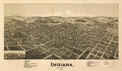
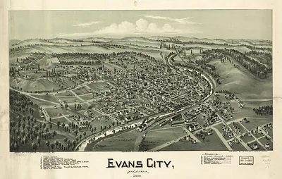
Monaca, Pennsylvania, 1900 – Antique Wall Map

(Originally scanned by the Library of Congress. Each image is professionally and digitally cleaned of artifacts such as color bars and extra borders prior to printing.)
Description
Step back in time with Monaca, Pennsylvania, 1900, an antique map rich in period detail. Sourced directly from the Library of Congress, it represents an authentic piece of documented history.
Library of Congress record: Monaca, Pennsylvania 1900
Choose the framed print, ready to hang the day it arrives, or the unframed print for a frame of your own. It brings character to any room and makes a memorable gift. Free shipping in the lower 48 states. Snapshots of the Past, founded in 2001, has served tens of thousands of customers worldwide.
Monaca, Pennsylvania, 1900
Order a print
Thank you. Your order went through, and a receipt is on its way by email.
Secure checkout · SSL encryptedPowered by Stripe and PayPal
Free shipping in the lower 48 states. The checkout page shows the picture, size and price before you pay.
Monaca, a river town in Beaver County on the Ohio River, was drawn as it stood in 1900, when western Pennsylvania's industrial economy was expanding rapidly. The Ohio valley's mills, rail yards, and factories drew workers and their families from across the region, and towns like Monaca grew up in their shadow, supplying labor to the furnaces and plants nearby. Its streets, churches, and commercial blocks would have been familiar to residents as the everyday fabric of a community tied closely to river traffic and the steel economy of the Pittsburgh district. The map records a moment when such towns were adding houses and shops quickly, and when local civic life centered on the churches, schools, and businesses shown along its main thoroughfares.
| Created / published | 1900 |
|---|---|
| Creator | moyer, james b., fowler, t. m. (thaddeus mortimer) |
| Notes | An original bird's-eye view map of Monaca, Pennsylvania, drawn in 1900. Bird's-eye view maps were drawn by travelling artists who walked a town street by street, sketching every building from an imagined vantage point in the air, then sold the finished lithograph door to door by subscription. Roughly five thousand American towns were recorded this way between the 1860s and the 1920s, and for many of them the panoramic map is the most complete picture of the place that survives. Reproduced from the original in the Library of Congress collections. Printed to order on archival paper. Free shipping on all US orders. |
| Subjects | Panoramic maps--Pennsylvania |
| Source | Library of Congress, Panoramic Maps |
| Original scan | 7,296 × 5,216 px · prints to 24 × 17 in at 300 dpi |
| Library of Congress title | Monaca, Pennsylvania 1900 |
| Reference | AMZ-SOTP-OYK-490586 |
More from the Panoramic Maps collection
Snapshots of the Past helps heritage brands, museums, historians and storytellers tell stories with history: historic prints, image licensing and historical storytelling drawn from more than 25 years of research and curation.