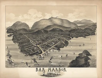
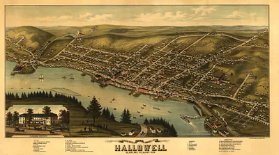
Maine 1839, Maine – Vintage Map Wall Art

(Each image is professionally and digitally cleaned of artifacts such as color bars and extra borders prior to printing.)
Description
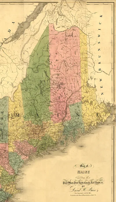
A window into the past: Maine 1839, Maine, preserved in this antique map. Drawn from the Snapshots of the Past archive, it is an authentic piece of documented history.
Order it framed and ready to hang, or unframed to match a frame you already love. A conversation-starting piece for home, office, or as a meaningful gift. Free shipping in the lower 48 states. Snapshots of the Past, founded in 2001, has served tens of thousands of customers worldwide.
Maine 1839, Maine
Order a print
Thank you. Your order went through, and a receipt is on its way by email.
Secure checkout · SSL encryptedPowered by Stripe and PayPal
Free shipping in the lower 48 states. The checkout page shows the picture, size and price before you pay.
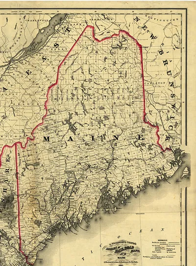
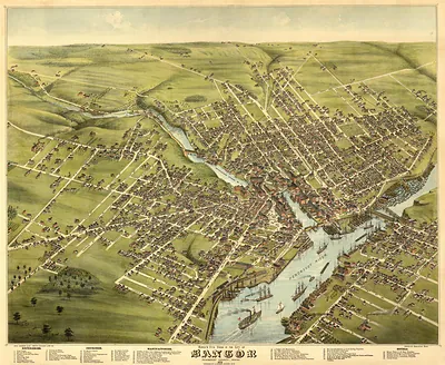
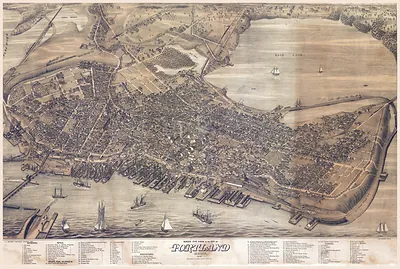
Maine in 1839 was still a frontier-edged state, and its towns were feeling the financial strain of the Panic of 1837, which had squeezed merchants and banks from Portland up the coast. Portland, the state's largest port, depended on coastal shipping and on the credit that flowed through its counting rooms, while Bangor, on the Penobscot, was growing fast as a point where logs and lumber left for markets downriver and overseas. Along the Kennebec and in inland villages, families kept small farms and mills going through hard times, and church, lyceum, and temperance meetings drew crowds in the evenings. Bowdoin College at Brunswick, chartered in 1794, was one of the few places where young men from across the state gathered for higher learning. A view of the state from above would have shown a coastline dotted with harbors and a countryside of woods and clearings.
| Notes | Bird's-eye view map. |
|---|---|
| Subjects | Panoramic maps--Maine |
| Original scan | 6,789 × 12,924 px · prints to 23 × 43 in at 300 dpi |
| Reference | Maine 1839 |
More from the Panoramic Maps collection
Snapshots of the Past helps heritage brands, museums, historians and storytellers tell stories with history: historic prints, image licensing and historical storytelling drawn from more than 25 years of research and curation.