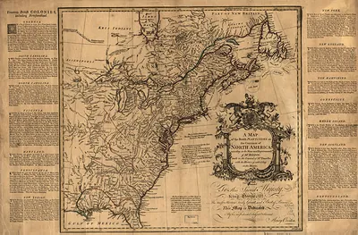
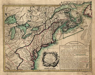
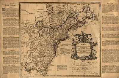
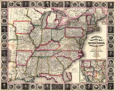
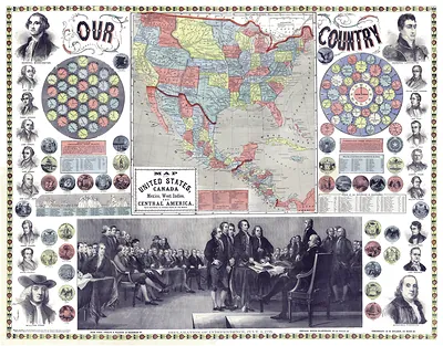
A General Map of the Middle British Colonies in America – Antique Wall Map

(Each image is professionally and digitally cleaned of artifacts such as color bars and extra borders prior to printing.)
Description
A General Map of the Middle British Colonies in America comes to life in this antique map, reproduced from the original with every detail intact. It is part of the Snapshots of the Past archive, gathered over 25 years of research.
Choose the framed print, ready to hang the day it arrives, or the unframed print for a frame of your own. It brings character to any room and makes a memorable gift. Free shipping in the lower 48 states. Since 2001, Snapshots of the Past has shipped historic prints to tens of thousands of customers around the world.
A General Map of the Middle British Colonies in America
Order a print
Thank you. Your order went through, and a receipt is on its way by email.
Secure checkout · SSL encryptedPowered by Stripe and PayPal
Free shipping in the lower 48 states. The checkout page shows the picture, size and price before you pay.
Lewis Evans compiled and published this map in Philadelphia in 1755, covering the middle colonies and the land west toward the Ohio country. It appeared as Britain and France were contesting the interior, and its detail on the Appalachian frontier made it a practical reference for officials and land speculators. The map has no direct link to the holiday, but its colonial-era subject, the settlements of the Delaware Valley and the disputed lands beyond them, connects it to the period that the Thanksgiving story later came to represent.
| Original scan | 7,996 × 5,917 px · prints to 27 × 20 in at 300 dpi |
|---|---|
| Reference | ar071300 |
More from the Thanksgiving collection
Snapshots of the Past helps heritage brands, museums, historians and storytellers tell stories with history: historic prints, image licensing and historical storytelling drawn from more than 25 years of research and curation.