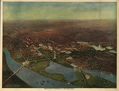
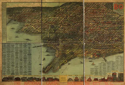
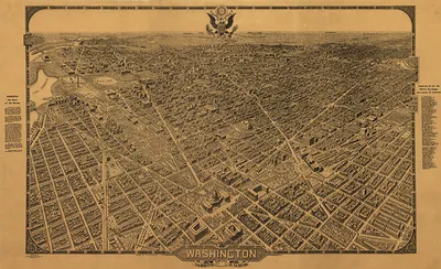
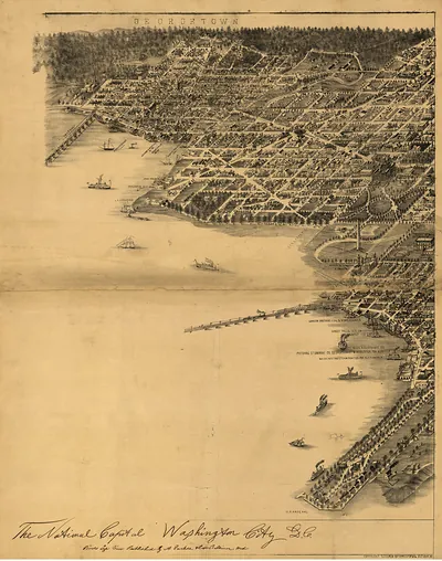
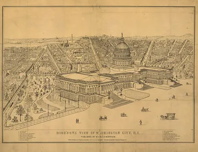
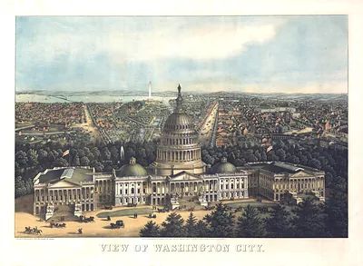
Washington 1916 corrected, Washington DC – Antique Wall Map

(Originally scanned by the Library of Congress. Each image is professionally and digitally cleaned of artifacts such as color bars and extra borders prior to printing.)
Description
Step back in time with Washington 1916 corrected, Washington DC, an antique map rich in period detail. Sourced directly from the Library of Congress, it represents an authentic piece of documented history.
Library of Congress record: Bird's-eye view of Washington, D.C.--the nation's capital
Order it framed and ready to hang, or unframed to match a frame you already love. It makes a striking addition to a living room, study or office, and a thoughtful gift. Free shipping in the lower 48 states. Since 2001, Snapshots of the Past has shipped historic prints to tens of thousands of customers around the world.
Washington 1916 corrected, Washington DC
Order a print
Thank you. Your order went through, and a receipt is on its way by email.
Secure checkout · SSL encryptedPowered by Stripe and PayPal
Free shipping in the lower 48 states. The checkout page shows the picture, size and price before you pay.
In 1916, Washington held about 330,000 people, and most paychecks came from the federal government, with clerks in the departments and workers at the Navy Yard on the Anacostia supplying steady work. President Woodrow Wilson, in office since 1913, presided over a capital whose offices and embassies followed the war in Europe more closely each month. Streetcars run by private companies carried clerks and shoppers out along the avenues, while Union Station, opened in 1907, brought rail travelers into the heart of the city. Black Washingtonians, held back by segregation in many public settings, built their own churches, schools, and businesses around the Howard University campus.
| Created / published | 1916 |
|---|---|
| Creator | b.s. reynolds co, green, h. h., matthews-northrup works |
| Notes | Bird's-eye view map. |
| Subjects | Panoramic maps--Washington DC |
| Source | Library of Congress, Panoramic Maps |
| Original scan | 7,040 × 5,408 px · prints to 23 × 18 in at 300 dpi |
| Library of Congress title | Bird's-eye view of Washington, D.C.--the nation's capital |
| Reference | DC-Washington-1916-corrected |
More from the Panoramic Maps collection
Snapshots of the Past helps heritage brands, museums, historians and storytellers tell stories with history: historic prints, image licensing and historical storytelling drawn from more than 25 years of research and curation.